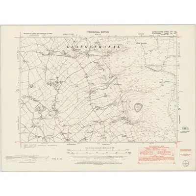
1949 Map of Denbighshire XIV.SE
Ordnance Survey Six-inch · Published 1953This historical map portrays the area of Denbighshire XIV.SE in 1949, primarily covering Llanbedr Dyffryn Clwyd as well as portions of Llandyrnog, Llanferres, and Llangynhafal. Featuring a scale of 1:10,560, this map provides a highly detailed snapshot of the terrain, roads, buildings, parishes, and historical landmarks in the Denbighshire XIV.SE region at the time. Published in 1953, it is the sole known edition of this map.
Map Details
Editions of this 1949 Denbighshire XIV.SE Map
This is the sole edition of this map. No revisions or reprints were ever made.
Other maps of this area
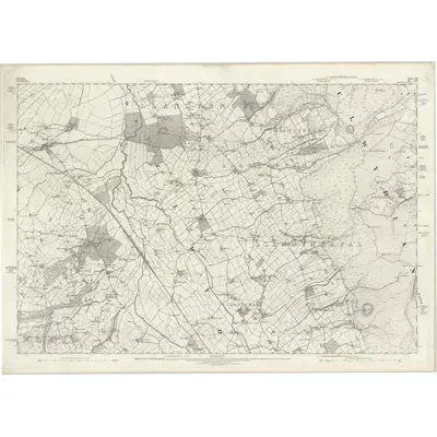
1870 · Flintshire XII
Ordnance Survey Six-inch · 1:10,560
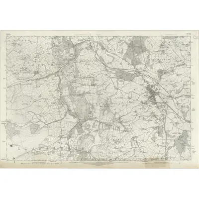
1871 · Flintshire XIII
Ordnance Survey Six-inch · 1:10,560
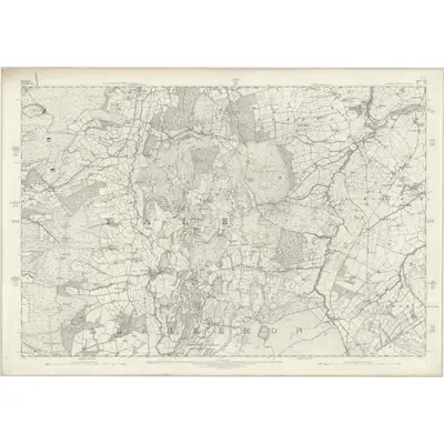
1872 · Flintshire XVI
Ordnance Survey Six-inch · 1:10,560
1874 · Denbighshire XIX
Ordnance Survey Six-inch · 1:10,560
1898 · Flintshire XII.SE
Ordnance Survey Six-inch · 1:10,560
1898 · Flintshire XIII.NW
Ordnance Survey Six-inch · 1:10,560
1898 · Flintshire XIII.SW
Ordnance Survey Six-inch · 1:10,560
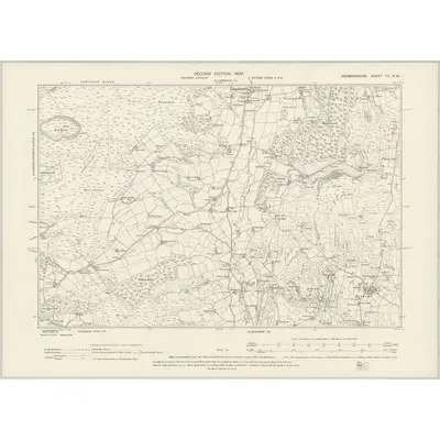
1898 · Denbighshire XX.NW
Ordnance Survey Six-inch · 1:10,560
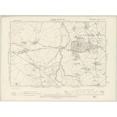
1898 · Denbighshire XIV.NW
Ordnance Survey Six-inch · 1:10,560
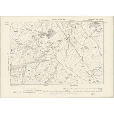
1898 · Denbighshire XIV.SW
Ordnance Survey Six-inch · 1:10,560
Featured Places
- Llanbedr Dyffryn Clwyd, Denbighshire
- Llandyrnog, Denbighshire
- Llanferres, Denbighshire
- Llangynhafal, Denbighshire
- Llanynys, Denbighshire
Source Details
Reproduced with the permission of the National Library of Scotland