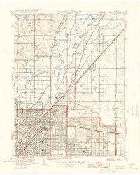
1950 Map of Derby
USGS Topo · Published 1950About this map
Denver expands northward into Adams County in this mid-century portrait of industrial and suburban development. The confluence of the South Platte River and Sand Creek serves as a corridor for an extensive rail network, including the Union Pacific and the Chicago Burlington and Quincy, which supported the massive Stockyards district and neighboring industrial settlements like Argo and Globeville. This era captures the transition of the landscape from agricultural ditch-irrigated fields to organized municipal grids, evidenced by the numerous irrigation lines like the Fulton Ditch and Union Ditch still cutting through developing neighborhoods.
Find a feature on this map
54 named features on this map. Tap any name to fly to it.
Don’t see what you’re looking for? This feature index may not catch every label — zoom into the map to look around manually.
Map Details
Editions of this 1950 Derby Map
This is the sole edition of this map. No revisions or reprints were ever made.
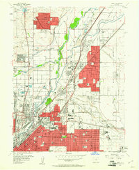
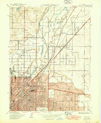
Historical Maps of York Highlands Through Time
5 maps found