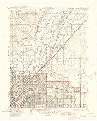
1947 Map of Derby
USGS Topo · Published 1947About this map
The South Platte River and its industrial corridor dominate this mid-century landscape north of Denver. The area is characterized by a dense web of transportation and utility infrastructure, including the Burlington Ditch and Highline Ditch, which support the region's complex water management. At the heart of the map, the confluence of Clear Creek and Sand Creek near Adams City illustrates the intersection of natural waterways and burgeoning urban development.
Find a feature on this map
46 named features on this map. Tap any name to fly to it.
Don’t see what you’re looking for? This feature index may not catch every label — zoom into the map to look around manually.
Map Details
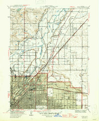
Editions of this 1947 Derby Map
2 editions found
Other maps of this area

1890 · East Denver
USGS Topo · 1:125,000

1899 · West Denver
USGS Topo · 1:125,000

1935 · East Denver Nos. 3 and 4
USGS Topo · 1:48,000

1938 · Derby
USGS Topo · 1:24,000

1938 · Long Branch
USGS Topo · 1:24,000

1940 · Brighton
USGS Topo · 1:31,680

1940 · Englewood
USGS Topo · 1:31,680

1940 · Eastlake
USGS Topo · 1:31,680

1940 · Lafayette
USGS Topo · 1:31,680

1940 · Derby
USGS Topo · 1:31,680