
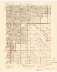
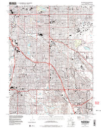
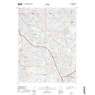
1940 Map of Englewood
USGS Topo · Published 1940About this map
Sullivan and the growing municipality of Englewood define the suburban expansion south of the state capital during the late 1930s. The landscape is a mix of established residential grids and leisure-focused developments, including the Cherry Hills Country Club, Wellshire Country Club, and the Denver Country Club. Civil engineering from an earlier era remains vital to the region's development, evidenced by the winding path of the High Line Canal and the City Ditch as they navigate the contours east of the South Platte River.
Find a feature on this map
48 named features on this map. Tap any name to fly to it.
Don’t see what you’re looking for? This feature index may not catch every label — zoom into the map to look around manually.
Map Details
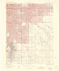
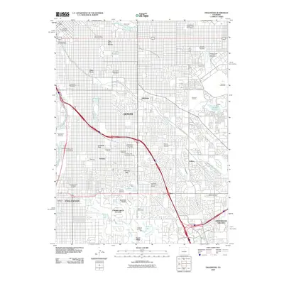
Editions of this 1940 Englewood Map
This is the sole edition of this map. No revisions or reprints were ever made.
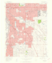
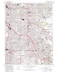
Historical Maps of Denver Through Time
11 maps found
1940 Englewood
Arapahoe County, CO
1944 Englewood
Arapahoe County, CO
1950 Englewood
Arapahoe County, CO
1957 Englewood
Arapahoe County, CO
1965 Englewood
Arapahoe County, CO
1997 Englewood
Arapahoe County, CO
2010 Englewood
Arapahoe County, CO
2013 Englewood
Arapahoe County, CO
2016 Englewood
Arapahoe County, CO
2019 Englewood
Arapahoe County, CO
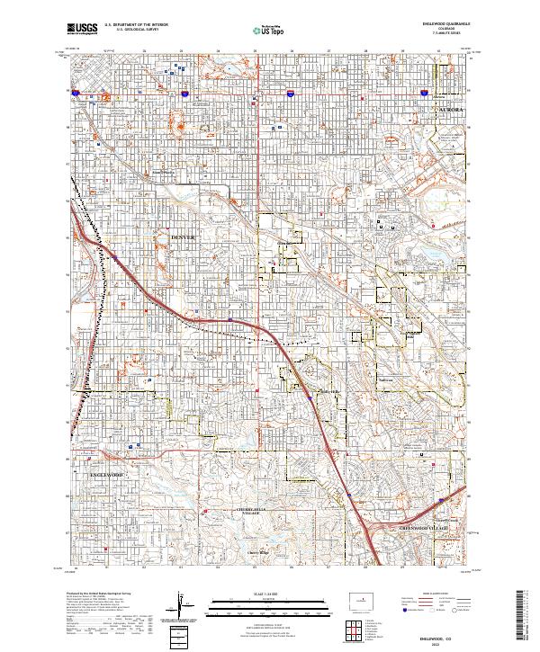
2022 Englewood
Arapahoe County, CO