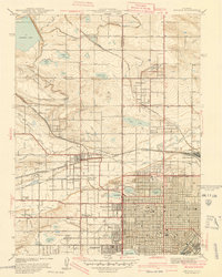
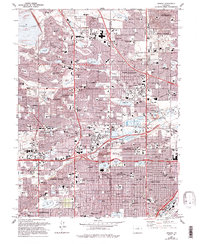
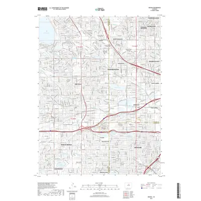
1941 Map of Arvada
USGS Topo · Published 1941About this map
Arvada and its surrounding communities are shown during a period of significant growth at the edge of the Denver metropolitan area. The landscape is defined by a sophisticated water management system, including the Farmers Highline Canal and large reservoirs like Standley Lake and Church Lake. These water resources supported the agricultural and domestic expansion of towns such as Wheatridge, Edgewater, and Westminster. The heavy influence of religious and social institutions is visible through landmarks like Bellevue College, Regis College, and the St Vincents Home.
Find a feature on this map
58 named features on this map. Tap any name to fly to it.
Don’t see what you’re looking for? This feature index may not catch every label — zoom into the map to look around manually.
Map Details
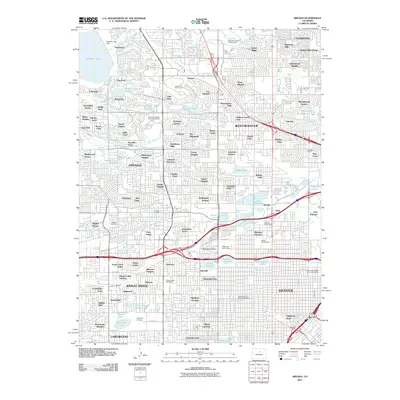
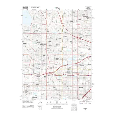
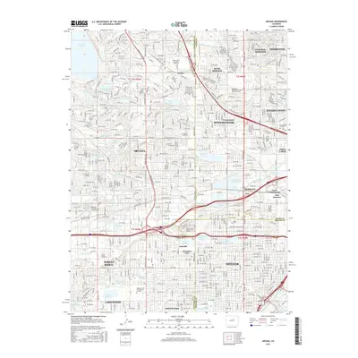
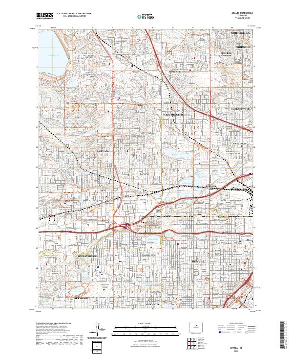
Editions of this 1941 Arvada Map
This is the sole edition of this map. No revisions or reprints were ever made.
Historical Maps of Lakewood Through Time
10 maps found
1941 Arvada
Jefferson County, CO
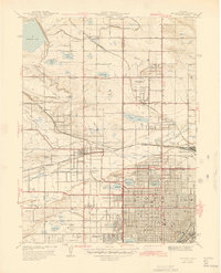
1944 Arvada
Jefferson County, CO
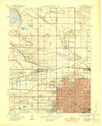
1950 Arvada
Jefferson County, CO
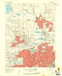
1957 Arvada
Jefferson County, CO
1965 Arvada
Jefferson County, CO
2011 Arvada
Jefferson County, CO
2013 Arvada
Jefferson County, CO
2016 Arvada
Jefferson County, CO
2019 Arvada
Jefferson County, CO
2022 Arvada
Jefferson County, CO