
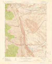
1941 Map of Fort Logan
USGS Topo · Published 1941About this map
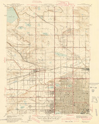
Fort Logan Military Reservation and the burgeoning suburban development west of Denver define this 1941 survey. The landscape is a transition between the established city grid and the irrigation-dependent agriculture of the foothills, marked by an extensive network of reservoirs like Kendrick Reservoir and Main Reservoir. Educational and social institutions are prominent features of the area, ranging from the hilltop campus of Loretto Heights College to the Industrial School and the specialized communities of Spivak and Craig Colony.
Find a feature on this map
70 named features on this map. Tap any name to fly to it.
Don’t see what you’re looking for? This feature index may not catch every label — zoom into the map to look around manually.
Map Details
Editions of this 1941 Fort Logan Map
This is the sole edition of this map. No revisions or reprints were ever made.
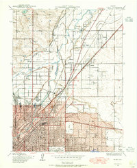
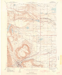
Other maps of this area

1890 · East Denver
USGS Topo · 1:125,000

1899 · West Denver
USGS Topo · 1:125,000

1935 · East Denver Nos. 3 and 4
USGS Topo · 1:48,000
1938 · Morrison
USGS Topo · 1:24,000
1938 · Derby
USGS Topo · 1:24,000
1939 · Golden
USGS Topo · 1:24,000

1940 · Englewood
USGS Topo · 1:31,680
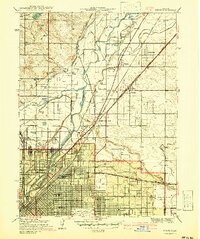
1940 · Derby
USGS Topo · 1:31,680
1941 · Arvada
USGS Topo · 1:31,680

1942 · Highland Ranch
USGS Topo · 1:31,680