
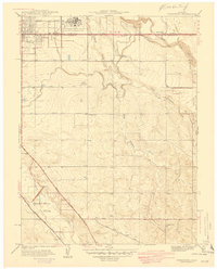
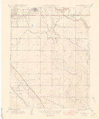
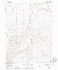
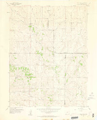
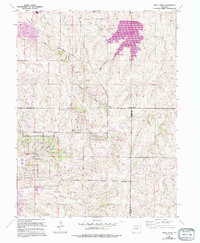
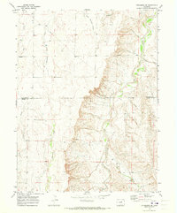
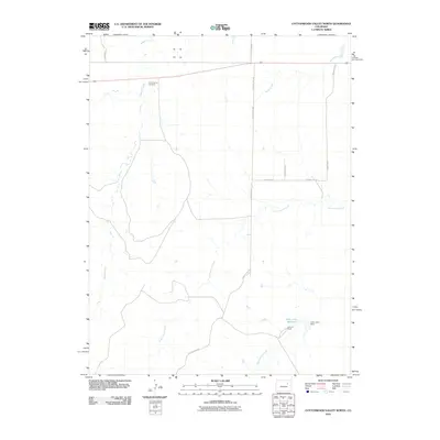
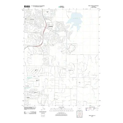
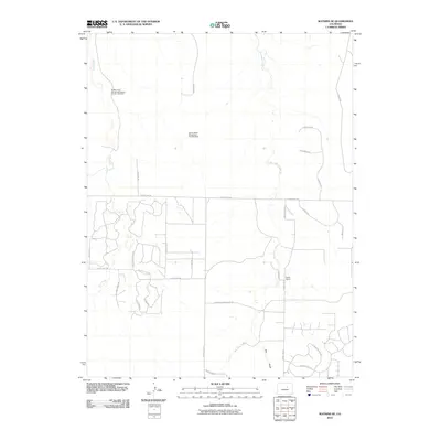
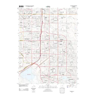
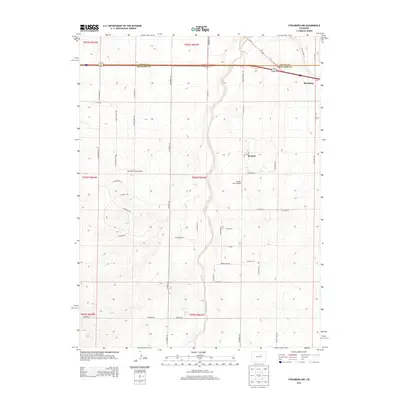
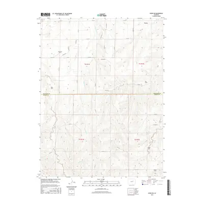
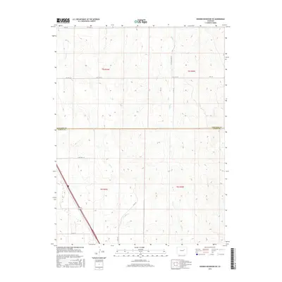
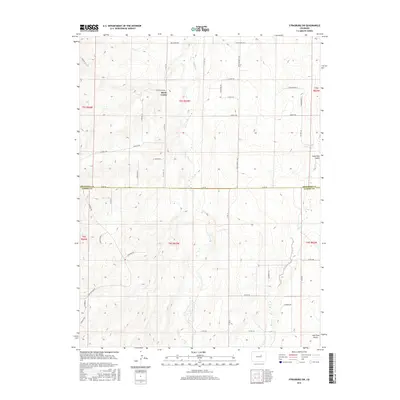
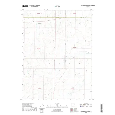
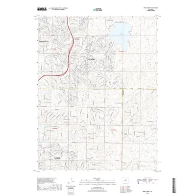
1942 Map of Highland Ranch
USGS Topo · Published 1942About this map
The rolling grasslands of the Arapahoe Co Douglas Co line appear here as a landscape of large pastoral estates and early water infrastructure just before the mid-century. Several prominent holdings define the settlement pattern, including the original Highland Ranch, the Cheese Ranch, and the McArthur Ranch, reflecting the area's agricultural foundations. The movement of water across this arid terrain is meticulously documented through the Highline Canal, the Chamberlain Lateral, and the presence of the Englewood Dam.
Find a feature on this map
21 named features on this map. Tap any name to fly to it.
Don’t see what you’re looking for? This feature index may not catch every label — zoom into the map to look around manually.
Map Details
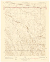
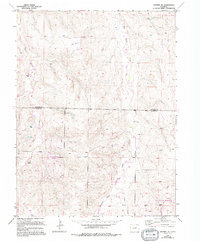
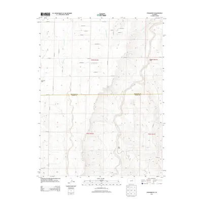
Editions of this 1942 Highland Ranch Map
This is the sole edition of this map. No revisions or reprints were ever made.
Historical Maps of Highlands Ranch Through Time
77 maps found

1935 East Denver Nos. 3 and 4
Arapahoe County, CO

1939 Coal Creek
Arapahoe County, CO

1940 Piney Creek
Arapahoe County, CO
1941 Fitzsimons
Arapahoe County, CO
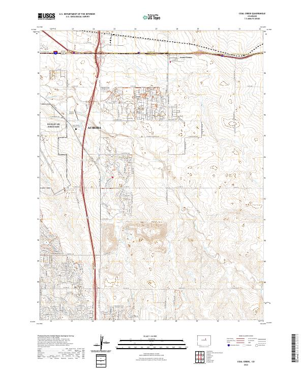
1942 Coal Creek
Arapahoe County, CO
1942 Highland Ranch
Arapahoe County, CO
1942 Piney Creek
Arapahoe County, CO
1948 Fitzsimons
Arapahoe County, CO
1955 Strasburg NW
Arapahoe County, CO
1955 Watkins SE
Arapahoe County, CO
1957 Coal Creek
Arapahoe County, CO
1957 Fitzsimons
Arapahoe County, CO
1957 Piney Creek
Arapahoe County, CO
1961 Strasburg SW
Arapahoe County, CO
1965 Fitzsimons
Arapahoe County, CO
1966 Coal Creek
Arapahoe County, CO
1966 Piney Creek
Arapahoe County, CO
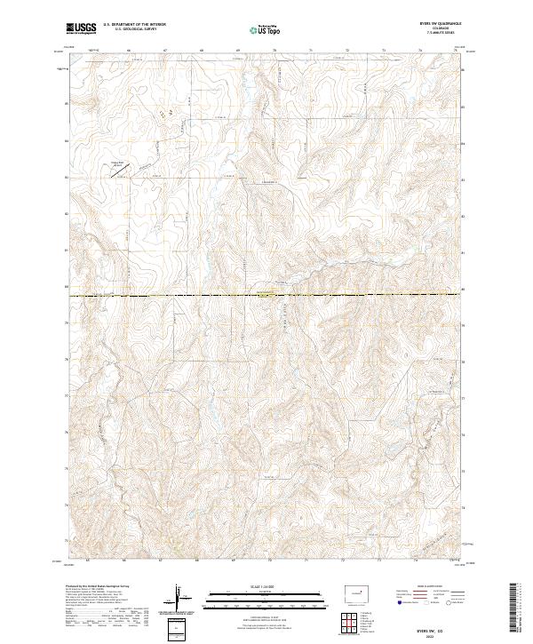
1969 Byers SW
Arapahoe County, CO
1969 Noonen Reservoir
Arapahoe County, CO
1969 Noonen Reservoir SW
Arapahoe County, CO
1969 Strasburg SE
Arapahoe County, CO
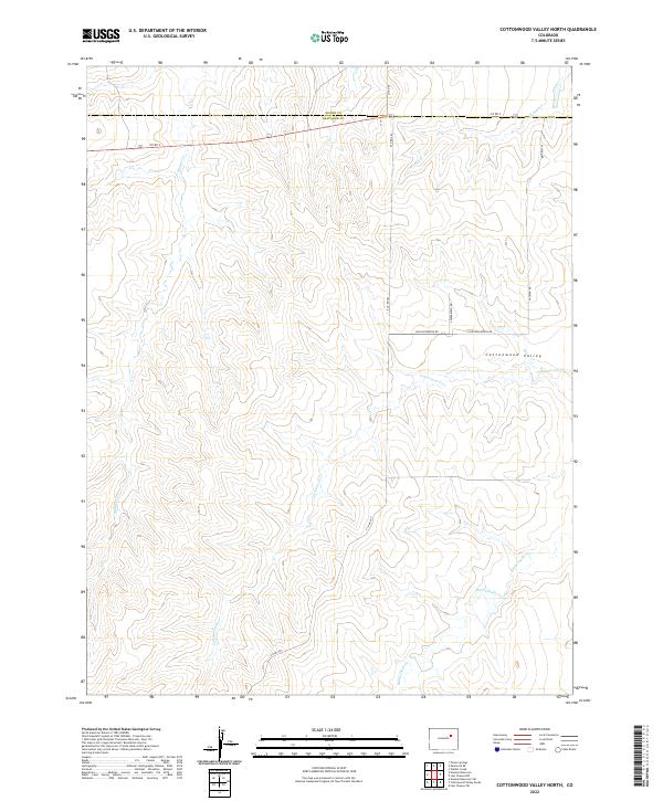
1973 Cottonwood Valley North
Arapahoe County, CO
2010 Byers SW
Arapahoe County, CO
2010 Coal Creek
Arapahoe County, CO
2010 Cottonwood Valley North
Arapahoe County, CO
2010 Fitzsimons
Arapahoe County, CO
2010 Noonen Reservoir
Arapahoe County, CO
2010 Noonen Reservoir SW
Arapahoe County, CO
2010 Piney Creek
Arapahoe County, CO
2010 Strasburg NW
Arapahoe County, CO
2010 Strasburg SE
Arapahoe County, CO
2010 Strasburg SW
Arapahoe County, CO
2010 Watkins SE
Arapahoe County, CO
2013 Byers SW
Arapahoe County, CO
2013 Coal Creek
Arapahoe County, CO
2013 Cottonwood Valley North
Arapahoe County, CO
2013 Fitzsimons
Arapahoe County, CO
2013 Noonen Reservoir
Arapahoe County, CO
2013 Noonen Reservoir SW
Arapahoe County, CO
2013 Piney Creek
Arapahoe County, CO
2013 Strasburg NW
Arapahoe County, CO
2013 Strasburg SE
Arapahoe County, CO
2013 Strasburg SW
Arapahoe County, CO
2013 Watkins SE
Arapahoe County, CO
2016 Byers SW
Arapahoe County, CO
2016 Coal Creek
Arapahoe County, CO
2016 Cottonwood Valley North
Arapahoe County, CO

2016 Fitzsimons
Arapahoe County, CO
2016 Noonen Reservoir
Arapahoe County, CO
2016 Noonen Reservoir SW
Arapahoe County, CO
2016 Piney Creek
Arapahoe County, CO
2016 Strasburg NW
Arapahoe County, CO
2016 Strasburg SE
Arapahoe County, CO
2016 Strasburg SW
Arapahoe County, CO
2016 Watkins SE
Arapahoe County, CO
2019 Byers SW
Arapahoe County, CO
2019 Coal Creek
Arapahoe County, CO
2019 Cottonwood Valley North
Arapahoe County, CO
2019 Fitzsimons
Arapahoe County, CO
2019 Noonen Reservoir
Arapahoe County, CO
2019 Noonen Reservoir SW
Arapahoe County, CO
2019 Piney Creek
Arapahoe County, CO
2019 Strasburg NW
Arapahoe County, CO
2019 Strasburg SE
Arapahoe County, CO
2019 Strasburg SW
Arapahoe County, CO
2019 Watkins SE
Arapahoe County, CO
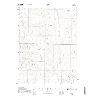
2022 Byers SW
Arapahoe County, CO
2022 Coal Creek
Arapahoe County, CO
2022 Cottonwood Valley North
Arapahoe County, CO
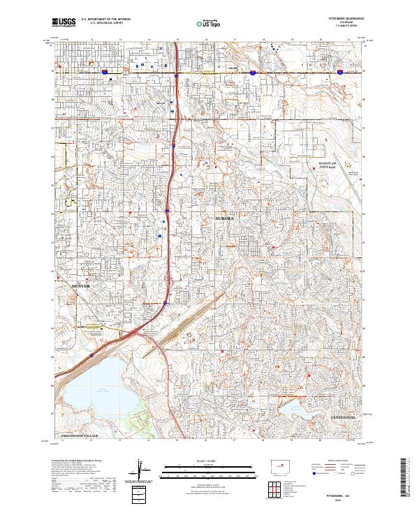
2022 Fitzsimons
Arapahoe County, CO
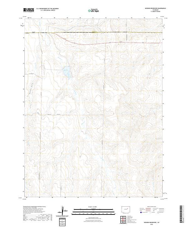
2022 Noonen Reservoir
Arapahoe County, CO
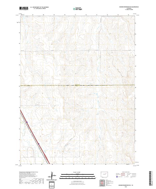
2022 Noonen Reservoir SW
Arapahoe County, CO
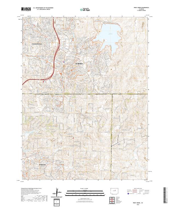
2022 Piney Creek
Arapahoe County, CO
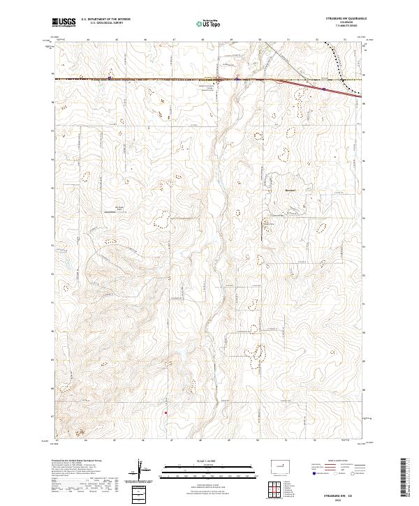
2022 Strasburg NW
Arapahoe County, CO
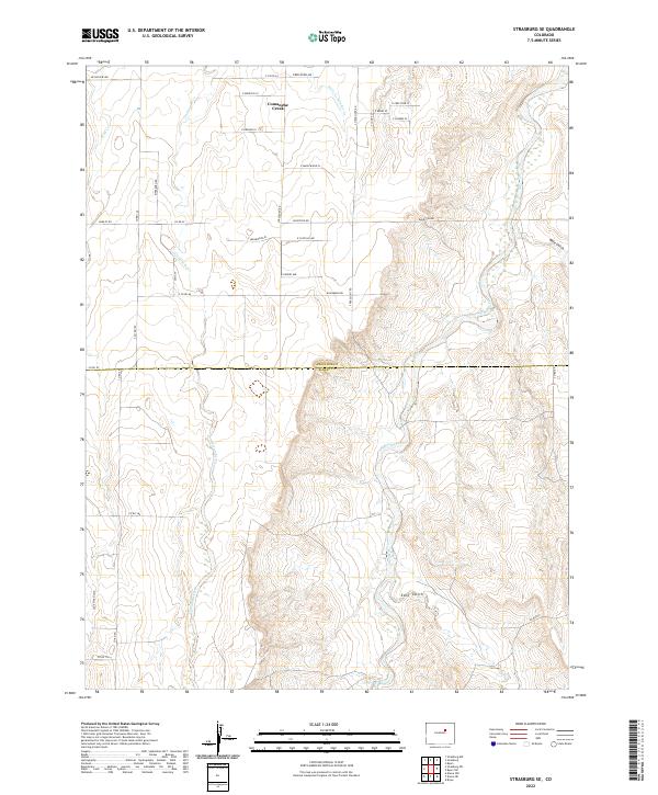
2022 Strasburg SE
Arapahoe County, CO
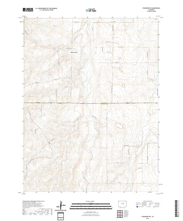
2022 Strasburg SW
Arapahoe County, CO
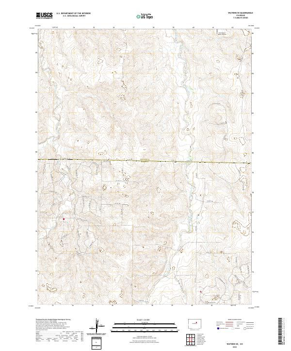
2022 Watkins SE
Arapahoe County, CO