
1940 Map of Castle Rock
USGS Topo · Published 1958About this map
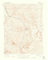
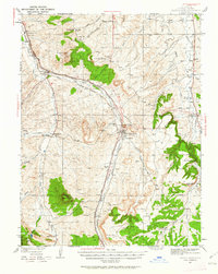
Castle Rock serves as the central hub of this pre-war Colorado landscape, where the confluence of East Plum Creek and West Plum Creek meets the major rail corridors of the Santa Fe and Rio Grande Western. The map reveals a robust network of rural education and community life, marked by numerous isolated schoolhouses such as Gann Sch, Oakland Sch, and Glen Grove Sch. These small sites, often located at crossroads or along creek beds, suggest the dispersed nature of the ranching and agricultural economy before suburban expansion reached this part of Douglas County.
Find a feature on this map
60 named features on this map. Tap any name to fly to it.
Don’t see what you’re looking for? This feature index may not catch every label — zoom into the map to look around manually.
Map Details
Editions of this 1940 Castle Rock Map
3 editions found
Other maps of this area

1890 · East Denver
USGS Topo · 1:125,000

1893 · Platte Canyon
USGS Topo · 1:125,000

1894 · Castle Rock
USGS Topo · 1:125,000

1899 · West Denver
USGS Topo · 1:125,000

1913 · Castle Rock
USGS Topo · 1:125,000

1935 · East Denver Nos. 3 and 4
USGS Topo · 1:48,000

1939 · Elizabeth
USGS Topo · 1:62,500

1940 · Piney Creek
USGS Topo · 1:24,000

1940 · Elbert
USGS Topo · 1:62,500

1942 · Highland Ranch
USGS Topo · 1:31,680