
1941 Map of Long Branch
USGS Topo · Published 1941About this map
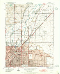
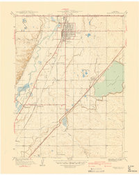
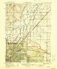
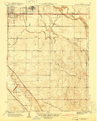
The Fitzsimons General Hospital and its surrounding U S Military Reservation dominate the southern portion of this landscape, reflecting the military expansion in Colorado during the late 1930s. This survey, conducted by A. J. Haskin and Carl Weible, reveals a transition from the developing community of Aurora to the rural plains of Adams County. The geography is defined by a complex irrigation network essential for high-plains agriculture, including the Highline Canal, O'Brien Canal, and numerous water bodies like Derby Lake and the Blackman Lake Site.
Find a feature on this map
24 named features on this map. Tap any name to fly to it.
Don’t see what you’re looking for? This feature index may not catch every label — zoom into the map to look around manually.
Map Details
Editions of this 1941 Long Branch Map
This is the sole edition of this map. No revisions or reprints were ever made.
Other maps of this area

1890 · East Denver
USGS Topo · 1:125,000

1935 · East Denver Nos. 3 and 4
USGS Topo · 1:48,000
1938 · Derby
USGS Topo · 1:24,000

1938 · Long Branch
USGS Topo · 1:24,000

1939 · Coal Creek
USGS Topo · 1:24,000
1940 · Brighton
USGS Topo · 1:31,680

1940 · Englewood
USGS Topo · 1:31,680

1940 · Eastlake
USGS Topo · 1:31,680
1940 · Derby
USGS Topo · 1:31,680
1941 · Fitzsimons
USGS Topo · 1:31,680