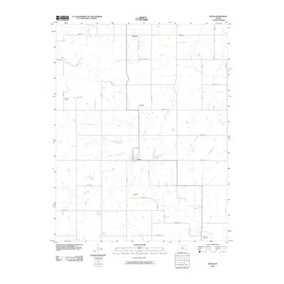
2009 Map of Devon
USGS Topo · Published 2009About this map
Devon and Harding serve as the primary hubs of this agricultural landscape in Bourbon County, Kansas. The region is defined by an intricate network of rural section roads, including historic routes like Wagon Rd and Tomahawk Rd, which weave through the drainage basins of Mill Creek and its many tributaries. This 2009 survey reveals a high density of small community burial grounds, such as Zion Cemetery, Dayton Cemetery, and Avondale Cemetery, which mark the former locations of early school districts and pioneer church congregations.
Find a feature on this map
38 named features on this map. Tap any name to fly to it.
Don’t see what you’re looking for? This feature index may not catch every label — zoom into the map to look around manually.
Map Details
Editions of this 2009 Devon Map
This is the sole edition of this map. No revisions or reprints were ever made.
Other maps of this area

1884 · Fort Scott
USGS Topo · 1:125,000

1886 · Fort Scott
USGS Topo · 1:125,000

1887 · Mound City
USGS Topo · 1:125,000

1893 · Fort Scott
USGS Topo · 1:125,000

1893 · Mound City
USGS Topo · 1:125,000

1947 · Lawrence
USGS Topo · 1:250,000

1947 · Joplin
USGS Topo · 1:250,000

1949 · Joplin
USGS Topo · 1:250,000

1950 · Lawrence
USGS Topo · 1:250,000

1954 · Joplin
USGS Topo · 1:250,000