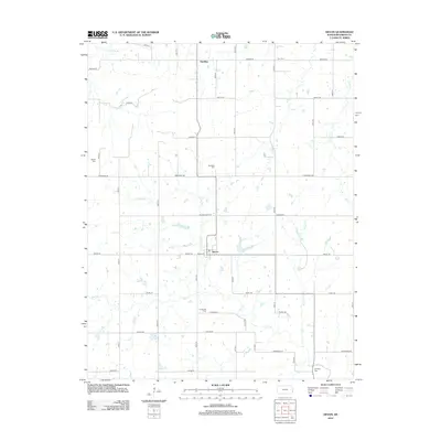
2012 Map of Devon
USGS Topo · Published 2012About this map
Devon and Harding anchor this agricultural region of Bourbon County, where a dense network of county roads follows the section lines of the Public Land Survey System. The landscape is defined by the winding course of the Little Osage River in the north and the multi-branched drainage system of Mill Cr, Little Mill Cr, and Honey Cr. These waterways create natural breaks in the geometric grid of roads like Soldier Rd and Tomahawk Rd.
Find a feature on this map
45 named features on this map. Tap any name to fly to it.
Don’t see what you’re looking for? This feature index may not catch every label — zoom into the map to look around manually.
Map Details
Editions of this 2012 Devon Map
This is the sole edition of this map. No revisions or reprints were ever made.
Other maps of this area

1884 · Fort Scott
USGS Topo · 1:125,000

1886 · Fort Scott
USGS Topo · 1:125,000

1887 · Mound City
USGS Topo · 1:125,000

1893 · Fort Scott
USGS Topo · 1:125,000

1893 · Mound City
USGS Topo · 1:125,000

1947 · Lawrence
USGS Topo · 1:250,000

1947 · Joplin
USGS Topo · 1:250,000

1949 · Joplin
USGS Topo · 1:250,000

1950 · Lawrence
USGS Topo · 1:250,000

1954 · Joplin
USGS Topo · 1:250,000