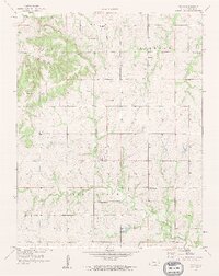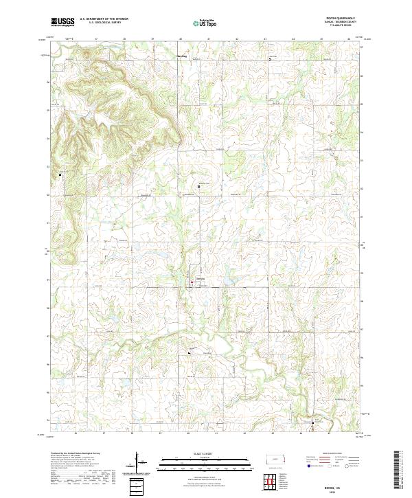
2022 Map of Devon
USGS Topo · Published 2022About this map
Devon and Harding serve as the primary anchors of this Kansas landscape, which is defined by the complex drainage systems of the Little Osage River and its numerous tributaries. The terrain is marked by a distinctive network of creeks including Little Mill Cr, Honey Cr, and Clever Cr, which carve through the Bourbon County countryside. This modern survey illustrates the persistent rural grid of Bourbon County, where named thoroughfares like Tomahawk Rd and Soldier Rd connect disparate homesteads and farming operations.
Find a feature on this map
32 named features on this map. Tap any name to fly to it.
Don’t see what you’re looking for? This feature index may not catch every label — zoom into the map to look around manually.
Map Details
Editions of this 2022 Devon Map
This is the sole edition of this map. No revisions or reprints were ever made.