2024 Map of Dexter
USGS Topo · Published 2024About this map
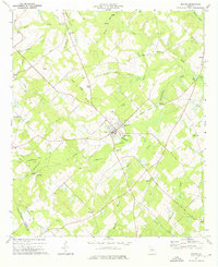
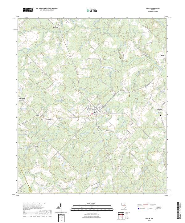
Dexter serves as the central hub of this Laurens County landscape, where a network of local roads like Church St and Line St converge. The area is defined by a complex drainage system of creeks and branches, most notably Stitchihatchie Creek and its various tributaries including Little Stitchihatchie Branch and Big Stitchihatchie Branch. These waterways carve through the terrain, separating small settlements such as Kewanee to the north and Alcorns to the west. Local history is anchored by several burial sites, including Saint Lukes Cem and Mount Carmel Cem, which sit alongside established routes like the Taylor Rowland Rd. The southern portion of the map features distinct water bodies such as Nesmith Lake and Malone Lake, while the eastern edge is marked by the community of Alligood and its namesake Alligood Cemetery.
Find a feature on this map
102 named features on this map. Tap any name to fly to it.
Don’t see what you’re looking for? This feature index may not catch every label — zoom into the map to look around manually.
Map Details
Editions of this 2024 Dexter Map
This is the sole edition of this map. No revisions or reprints were ever made.