Loading...
Loading map...2022 Map of Dinwiddie
USGS Topo · Published 2022About this map
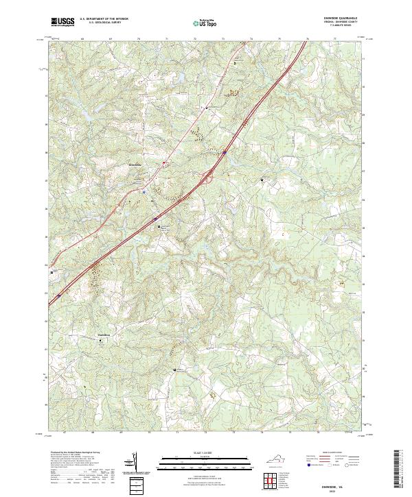
The Dinwiddie County Courthouse serves as the focal point of this rural Virginia landscape, which is marked by a network of historic roadways including Boydton Plank Rd and Quaker Rd. The terrain is defined by the winding paths of Stony Creek and its many tributaries, such as Gravelly Run and Hawkins Run, creating a complex of wetlands and ponds like Richardsons Pond.
Find a feature on this map
61 named features on this map. Tap any name to fly to it.
Don’t see what you’re looking for? This feature index may not catch every label — zoom into the map to look around manually.
Map Details
Date Portrayed2022
Date Published2022
PublisherU.S. Geological Survey
Map TypeTopographic
Scale1:24000
Physical Dimensions24 x 29 inches
Editions of this 2022 Dinwiddie Map
This is the sole edition of this map. No revisions or reprints were ever made.
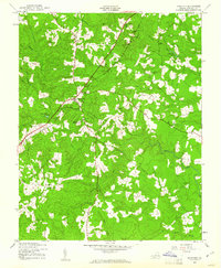
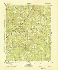
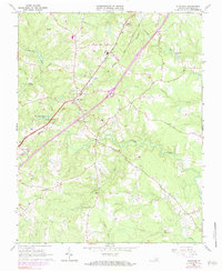
Historical Maps of Dinwiddie Acres Through Time
4 maps found
Featured Locations
Source Details
SourceU.S. Geological Survey
CopyrightPublic Domain