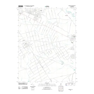
2011 Map of Dorothy
USGS Topo · Published 2011About this map
Dorothy and the surrounding pine barrens region of Atlantic County are defined by a geometric grid of ambitious street names that often outpace the density of the settlements themselves. In the northern reaches, the area near Mizpah and Gigantic City features a dense network of avenues named for major American cities like Seattle Ave and Mobile Ave, reflecting early 20th-century land speculation and development patterns. The landscape is deeply influenced by the waterways of the Great Egg Harbor River system, with the South River and Stephen Creek cutting through the low-lying terrain. To the east, the map documents industrial and recreational history at Walkers Forge and the Atlantic City Girl Scout Camp. Notable landmarks like Maple Lake Dam and the small residential pockets of Milmay and Richland provide a detailed view of the rural-to-suburban transition in southern New Jersey as it stood in 2011.
Find a feature on this map
146 named features on this map. Tap any name to fly to it.
Don’t see what you’re looking for? This feature index may not catch every label — zoom into the map to look around manually.
Map Details
Editions of this 2011 Dorothy Map
This is the sole edition of this map. No revisions or reprints were ever made.
Other maps of this area

1890 · Great Egg Harbor
USGS Topo · 1:62,500

1890 · Hammonton
USGS Topo · 1:62,500

1890 · Tuckahoe
USGS Topo · 1:62,500

1890 · Mullica
USGS Topo · 1:62,500

1893 · Great Egg Harbor
USGS Topo · 1:62,500

1893 · Tuckahoe
USGS Topo · 1:62,500

1894 · Hammonton
USGS Topo · 1:62,500

1894 · Mullica
USGS Topo · 1:62,500

1898 · Mullica
USGS Topo · 1:62,500

1898 · Hammonton
USGS Topo · 1:62,500
Featured Places
- Hamilton Township, NJ
- Maurice River Township, NJ
- Buena Vista Township, NJ
- Weymouth Township, NJ
- Estell Manor, NJ