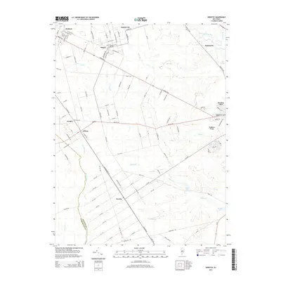
2014 Map of Dorothy
USGS Topo · Published 2014About this map
Mizpah and Gigantic City anchor the northern reaches of this Atlantic County landscape, where an orderly grid of residential streets like Buffalo Ave and Key W Ave meets the irregular wetlands of the Pine Barrens. The territory is defined by its hydrography, notably the Great Egg Harbor River and its various tributaries including Mare Run and S River. Further south, the settlement of Dorothy sits at a crossroads of long-established thoroughfares, while Walkers Forge on the river banks hints at the area's earlier industrial ventures.
Find a feature on this map
108 named features on this map. Tap any name to fly to it.
Don’t see what you’re looking for? This feature index may not catch every label — zoom into the map to look around manually.
Map Details
Editions of this 2014 Dorothy Map
This is the sole edition of this map. No revisions or reprints were ever made.
Other maps of this area

1890 · Great Egg Harbor
USGS Topo · 1:62,500

1890 · Hammonton
USGS Topo · 1:62,500

1890 · Tuckahoe
USGS Topo · 1:62,500

1890 · Mullica
USGS Topo · 1:62,500

1893 · Great Egg Harbor
USGS Topo · 1:62,500

1893 · Tuckahoe
USGS Topo · 1:62,500

1894 · Hammonton
USGS Topo · 1:62,500

1894 · Mullica
USGS Topo · 1:62,500

1898 · Mullica
USGS Topo · 1:62,500

1898 · Hammonton
USGS Topo · 1:62,500
Featured Places
- Hamilton Township, NJ
- Maurice River Township, NJ
- Buena Vista Township, NJ
- Weymouth Township, NJ
- Estell Manor, NJ