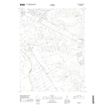
2019 Map of Dorothy
USGS Topo · Published 2019About this map
Gigantic City and Mizpah highlight the distinctive grid-like development patterns characteristic of the Atlantic County interior. The northern half of the map is defined by a dense network of residential streets with ambitious names like Los Angeles Ave, Chicago Ave, and Portland Ave, intersecting with thoroughfares such as W Jersey Blvd. These planned communities contrast sharply with the winding watercourses and marshes of the southern region.
Find a feature on this map
145 named features on this map. Tap any name to fly to it.
Don’t see what you’re looking for? This feature index may not catch every label — zoom into the map to look around manually.
Map Details
Editions of this 2019 Dorothy Map
This is the sole edition of this map. No revisions or reprints were ever made.
Other maps of this area

1890 · Great Egg Harbor
USGS Topo · 1:62,500

1890 · Hammonton
USGS Topo · 1:62,500

1890 · Tuckahoe
USGS Topo · 1:62,500

1890 · Mullica
USGS Topo · 1:62,500

1893 · Great Egg Harbor
USGS Topo · 1:62,500

1893 · Tuckahoe
USGS Topo · 1:62,500

1894 · Hammonton
USGS Topo · 1:62,500

1894 · Mullica
USGS Topo · 1:62,500

1898 · Mullica
USGS Topo · 1:62,500

1898 · Hammonton
USGS Topo · 1:62,500
Featured Places
- Hamilton Township, NJ
- Maurice River Township, NJ
- Buena Vista Township, NJ
- Weymouth Township, NJ
- Estell Manor, NJ