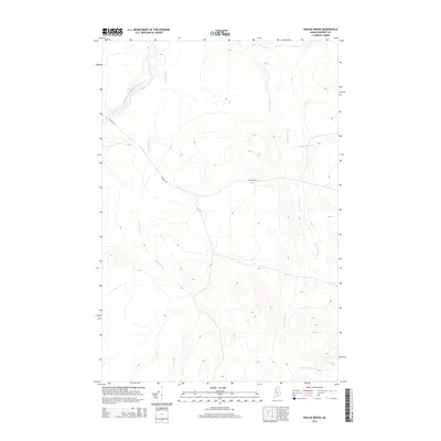
2014 Map of Doucie Brook
USGS Topo · Published 2014About this map
The Southwest Branch Saint John River defines the northwestern reaches of this Somerset County landscape, which remains primarily defined by its drainage basins and logging access. In the southeastern corner, Desolation Pond feeds its namesake Desolation Brook, part of a network of waterways including Doucie Brook and Knowles Brook that carve through the high elevations. Apart from the occasional passage of Stetson Rd, the terrain is largely devoid of permanent settlements, reflecting the industrial timberland character of the northern Maine woods. This 2014 survey serves as a modern record of the unchanged hydrography and topography of the T9 R17 WELS territory.
Find a feature on this map
7 named features on this map. Tap any name to fly to it.
Don’t see what you’re looking for? This feature index may not catch every label — zoom into the map to look around manually.
Map Details
Editions of this 2014 Doucie Brook Map
This is the sole edition of this map. No revisions or reprints were ever made.
Other maps of this area

1954 · Baker Lake
USGS Topo · 1:62,500

1954 · Allagash Lake
USGS Topo · 1:62,500

1954 · Presque Isle
USGS Topo · 1:250,000

1955 · Beaver Pond
USGS Topo · 1:62,500

1955 · Clayton Lake
USGS Topo · 1:62,500

1958 · Presque Isle
USGS Topo · 1:250,000

1960 · Presque Isle
USGS Topo · 1:250,000

1961 · Allagash Lake
USGS Topo · 1:62,500

1962 · Baker Lake
USGS Topo · 1:62,500
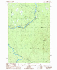
1986 · Beaver Pond SE
USGS Topo · 1:24,000