2022 Map of Douds
USGS Topo · Published 2022About this map
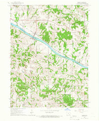
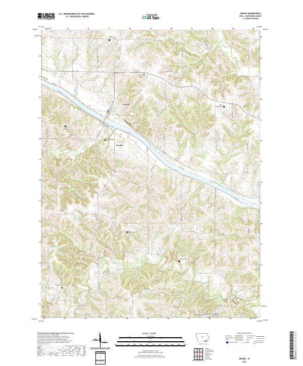
Douds and Leando sit on opposing banks of the Des Moines River, serving as the primary cultural anchor for this portion of Van Buren County. The landscape is deeply carved by water, with the river valley flanked by numerous drainages including Lick Cr, Holcomb Cr, and Chequest Cr, creating a highly dissected topography typical of southeastern Iowa. This map is particularly valuable for genealogical research, as it documents a high density of rural burial sites established by early families and congregations. These include the Boyer Family Cem, Mount Moriah Cem, and the Zion Lutheran Cem to the north, alongside the Valentine Cem and Roush Cem further south. The southern portion of the quadrangle also shows the Oldfield Aero Airport, reflecting the persistence of small-scale aviation infrastructure alongside traditional agricultural land use patterns.
Find a feature on this map
65 named features on this map. Tap any name to fly to it.
Don’t see what you’re looking for? This feature index may not catch every label — zoom into the map to look around manually.
Map Details
Editions of this 2022 Douds Map
This is the sole edition of this map. No revisions or reprints were ever made.