
1965 Map of Douds
USGS Topo · Published 1966About this map
The Des Moines River carves a deep valley through this mid-1960s Iowa landscape, separating the twin communities of Douds and Leando. This survey captures a moment when the regional economy balanced agriculture with industrial extraction, evident in the presence of a Strip Mine, a Quarry, and the Quarry Mine located just downriver from the main settlements. The transportation corridor is anchored by the Chicago Rock Island and Pacific railroad, which follows the river's northern bank and provides the primary connection for the area's grain and mineral output.
Find a feature on this map
23 named features on this map. Tap any name to fly to it.
Don’t see what you’re looking for? This feature index may not catch every label — zoom into the map to look around manually.
Map Details
Editions of this 1965 Douds Map
This is the sole edition of this map. No revisions or reprints were ever made.
Other maps of this area

1954 · Centerville
USGS Topo · 1:250,000

1957 · Centerville
USGS Topo · 1:250,000

1958 · Centerville
USGS Topo · 1:250,000

1958 · Burlington
USGS Topo · 1:250,000

1961 · Burlington
USGS Topo · 1:250,000

1963 · Burlington
USGS Topo · 1:250,000
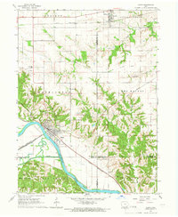
1965 · Eldon
USGS Topo · 1:24,000

1965 · Selma
USGS Topo · 1:24,000
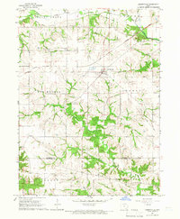
1965 · Libertyville
USGS Topo · 1:24,000

1968 · Keosauqua
USGS Topo · 1:24,000