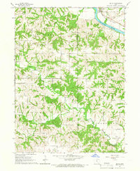
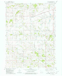
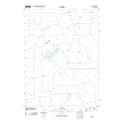
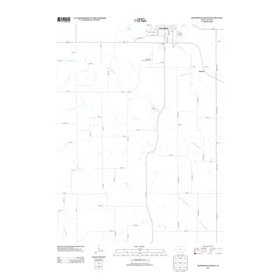
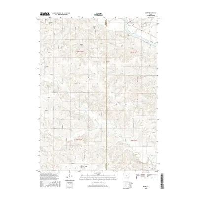
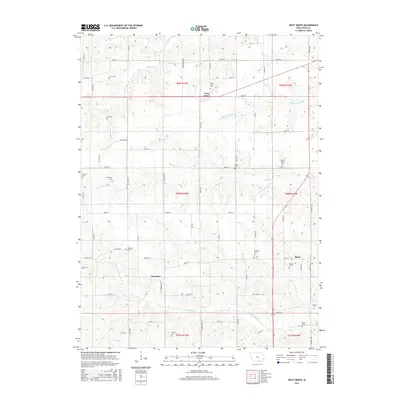
1965 Map of Selma
USGS Topo · Published 1966About this map
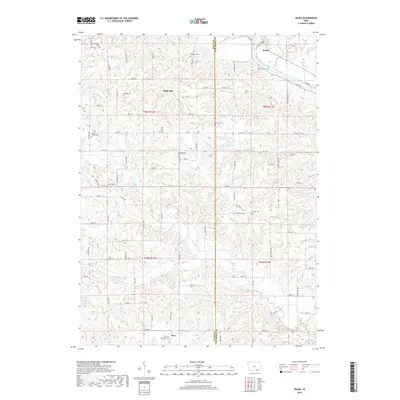
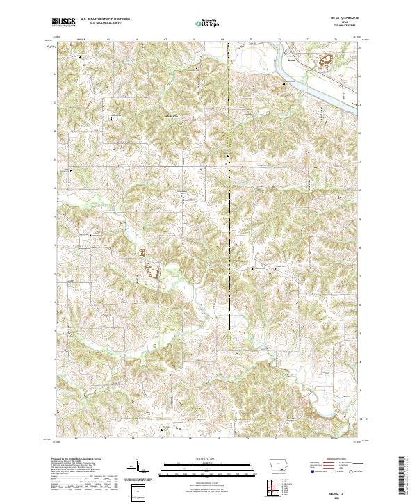
The Des Moines River cuts through the northeast corner of this mid-1960s landscape, where the town of Selma serves as a small hub for the surrounding agricultural districts of Salt Creek and Village. The Chicago Rock Island and Pacific railroad tracks hug the riverbank, passing by local industrial features like the riverside Quarry. Further south, the terrain transitions into a more rural, dissected landscape characterized by the winding paths of Chequest Creek and South Chequest Creek.
Find a feature on this map
32 named features on this map. Tap any name to fly to it.
Don’t see what you’re looking for? This feature index may not catch every label — zoom into the map to look around manually.
Map Details
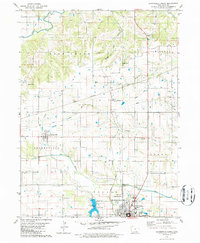
Editions of this 1965 Selma Map
This is the sole edition of this map. No revisions or reprints were ever made.
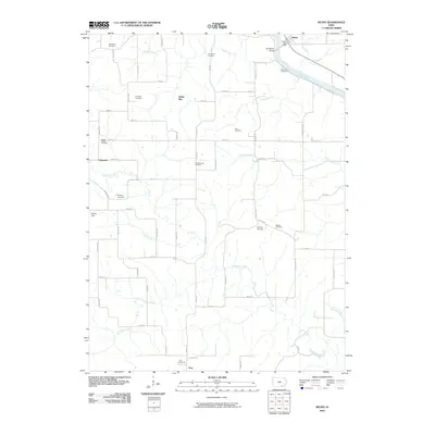
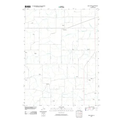
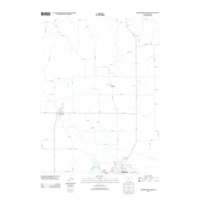
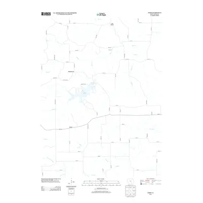
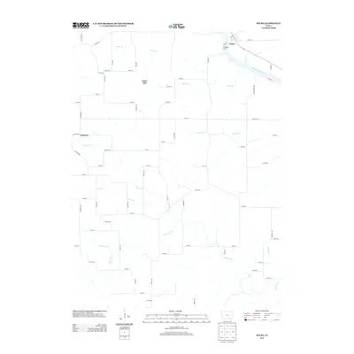
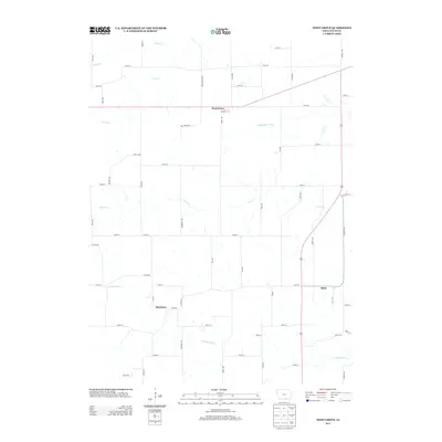
Historical Maps of Chequest Through Time
31 maps found
1956 Ottumwa South
Davis County, IA
1965 Selma
Davis County, IA
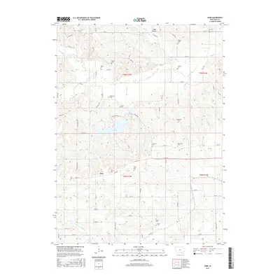
1968 Paris
Davis County, IA
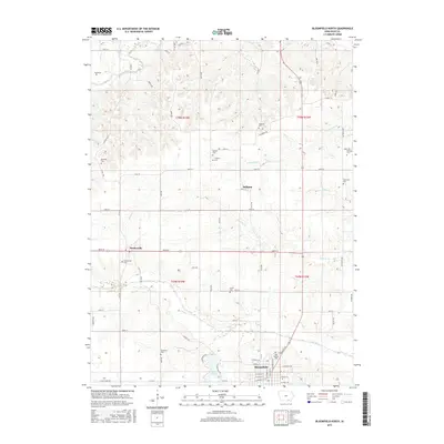
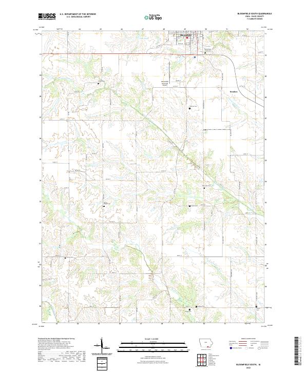
1979 Bloomfield South
Davis County, IA
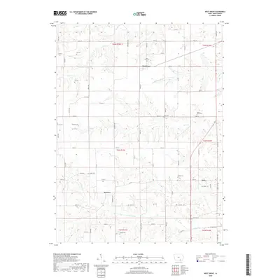
1979 West Grove
Davis County, IA
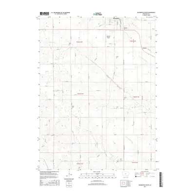
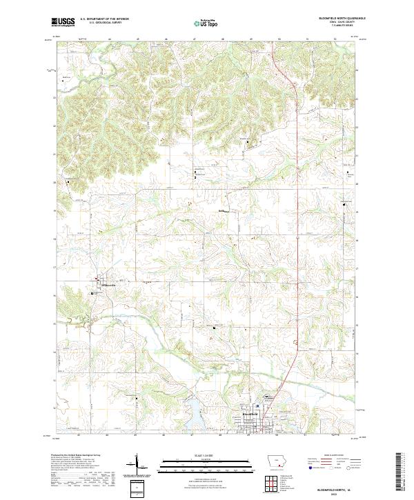
1980 Bloomfield North
Davis County, IA
2010 Bloomfield North
Davis County, IA
2010 Bloomfield South
Davis County, IA
2010 Paris
Davis County, IA
2010 Selma
Davis County, IA
2010 West Grove
Davis County, IA
2013 Bloomfield North
Davis County, IA
2013 Bloomfield South
Davis County, IA
2013 Paris
Davis County, IA
2013 Selma
Davis County, IA
2013 West Grove
Davis County, IA
2015 Bloomfield North
Davis County, IA
2015 Bloomfield South
Davis County, IA
2015 Paris
Davis County, IA
2015 Selma
Davis County, IA
2015 West Grove
Davis County, IA
2018 Bloomfield North
Davis County, IA
2018 Bloomfield South
Davis County, IA
2018 Paris
Davis County, IA
2018 Selma
Davis County, IA
2018 West Grove
Davis County, IA
2022 Bloomfield North
Davis County, IA
2022 Bloomfield South
Davis County, IA
2022 Paris
Davis County, IA
2022 Selma
Davis County, IA
2022 West Grove
Davis County, IA