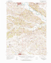
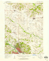
1956 Map of Ottumwa South
USGS Topo · Published 1958About this map
The Des Moines River winds through the northern portion of this mid-century landscape, carving a valley that separates the southern reaches of Ottumwa from the rural townships of Lick Creek and Salt Creek. This 1956 survey documents a transition in rural education, noting numerous active country schoolhouses like IXL Sch alongside several facilities already marked as defunct, such as Ormanville Sch (Abandoned) and Parish College Sch (Abandoned).
Find a feature on this map
101 named features on this map. Tap any name to fly to it.
Don’t see what you’re looking for? This feature index may not catch every label — zoom into the map to look around manually.
Map Details
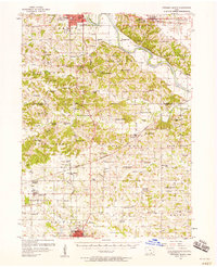
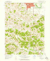
Editions of this 1956 Ottumwa South Map
2 editions found
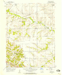
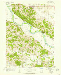
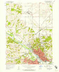
Other maps of this area

1954 · Centerville
USGS Topo · 1:250,000

1954 · Des Moines
USGS Topo · 1:250,000

1956 · Des Moines
USGS Topo · 1:250,000
1956 · Farson
USGS Topo · 1:24,000
1956 · Agency
USGS Topo · 1:24,000
1956 · Ottumwa North
USGS Topo · 1:62,500
1956 · Ottumwa South
USGS Topo · 1:24,000
1956 · Ottumwa North
USGS Topo · 1:24,000

1957 · Des Moines
USGS Topo · 1:250,000

1957 · Centerville
USGS Topo · 1:250,000