2022 Map of Dover
USGS Topo · Published 2022About this map
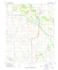
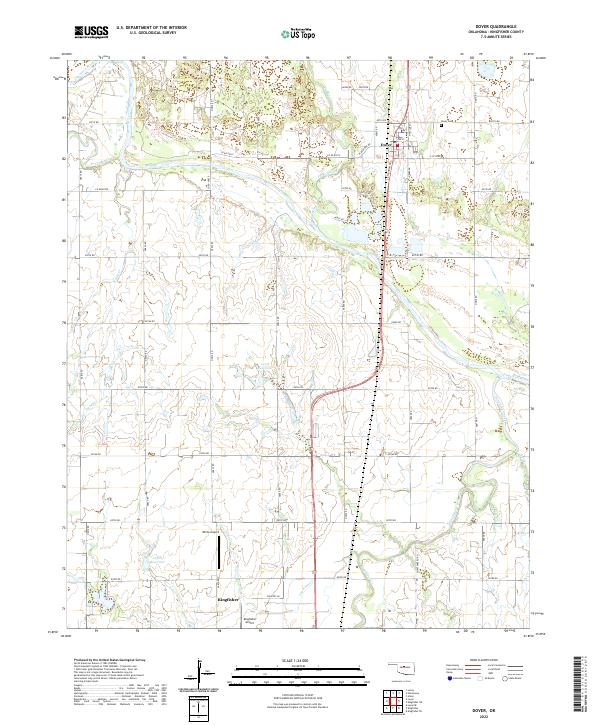
The Cimarron River carves a wide, braided path through the heart of the landscape, defining the northern geography of Kingfisher County. Near the northern bank, the town of Dover remains a central settlement, its local history anchored by the Dover Cem and streets like S Chisholm Trl that hint at the region's cattle-driving heritage. South of the river, the terrain is characterized by numerous seasonal and perennial waterways, including Turkey Creek, Treaty Cr, and Lou Anna Cr. Aviation is a notable presence in this area, with both White Airport and Kingfisher Airport serving the community. The land is organized by an extensive grid of section roads, such as E0730 Rd and N2860 Rd, which facilitate the agricultural and transport network connecting these prairie settlements and the various drainages of Kingfisher Creek.
Find a feature on this map
49 named features on this map. Tap any name to fly to it.
Don’t see what you’re looking for? This feature index may not catch every label — zoom into the map to look around manually.
Map Details
Editions of this 2022 Dover Map
This is the sole edition of this map. No revisions or reprints were ever made.