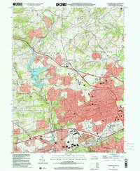
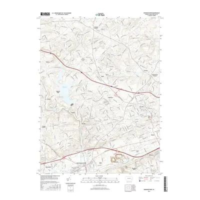
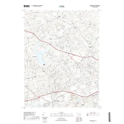
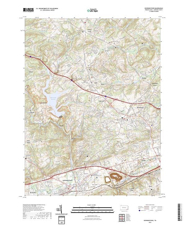
1999 Map of Downingtown
USGS Topo · Published 2001About this map
Downingtown serves as the focal point of this Chester County landscape, where the urban grid of the borough meets the expanding suburban corridors of the late twentieth century. The map illustrates a complex intersection of transportation and industry, from the Pennsylvania Turnpike slicing through Upper Uwchlan to the heavy rail infrastructure of the 4 Tracks line near Whitford. Educational and social institutions are densely packed here, including the Downingtown Industrial and Agricultural School and numerous modern campuses like Downingtown East High School.
Find a feature on this map
88 named features on this map. Tap any name to fly to it.
Don’t see what you’re looking for? This feature index may not catch every label — zoom into the map to look around manually.
Map Details
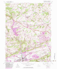
Editions of this 1999 Downingtown Map
This is the sole edition of this map. No revisions or reprints were ever made.
Historical Maps of Caln Township Through Time
7 maps found
Featured Locations
- Downingtown, PA
- Wallace Township, PA
- Caln Township, PA
- West Pikeland Township, PA
- Lionville, Uwchlan Township