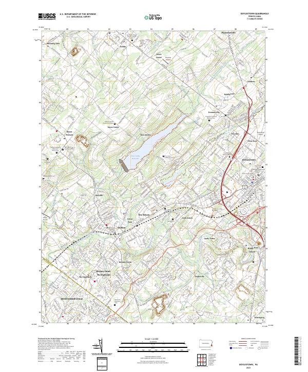
2023 Map of Doylestown
USGS Topo · Published 2023About this map
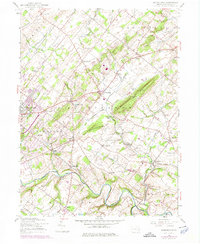
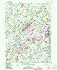
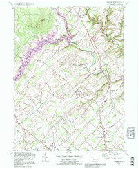
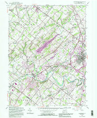
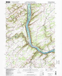
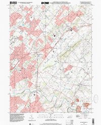
The Bucks and Montgomery county line bisects the southern reaches of this landscape, where the borough of Doylestown serves as a dense municipal hub. The area is defined by a deep-rooted network of country churches and cemeteries, such as the Hilltown Baptist Church Cem Upper and Doylestown Mennonite Cem, reflecting the region's long-standing sectarian settlements. To the northwest, the Peace Valley Reservoir sits as a significant modern catchment on North Branch Neshaminy Creek, surrounded by the Peace Valley Park Trails Trl. The map details the transition from the institutional grounds of Delaware Valley College and the Bucks County Justice Center to smaller hamlets like New Britain and Chalfont, illustrating how historic crossroad communities have matured into a continuous suburban corridor while preserving local landmarks like the Doylestown Airport.
Find a feature on this map
329 named features on this map. Tap any name to fly to it.
Don’t see what you’re looking for? This feature index may not catch every label — zoom into the map to look around manually.
Map Details
Editions of this 2023 Doylestown Map
This is the sole edition of this map. No revisions or reprints were ever made.
Historical Maps of Danboro Through Time
26 maps found

1890 Burlington
Bucks County, PA

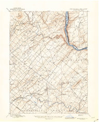
1890 Doylestown
Bucks County, PA
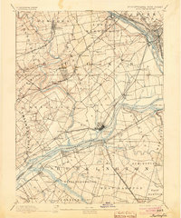
1891 Doylestown
Bucks County, PA
1893 Burlington
Bucks County, PA

1904 Burlington
Bucks County, PA
1906 Burlington
Bucks County, PA

1942 Burlington
Bucks County, PA
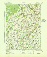
1943 Bedminster
Bucks County, PA
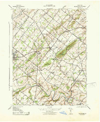
1943 Buckingham
Bucks County, PA
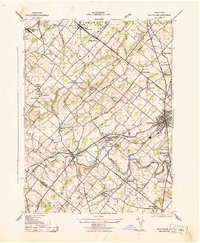
1943 Doylestown
Bucks County, PA

1943 Point Pleasant
Bucks County, PA
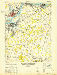
1947 Bristol
Bucks County, PA
1953 Buckingham
Bucks County, PA
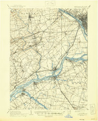
1953 Doylestown
Bucks County, PA
1955 Lumberville
Bucks County, PA
1957 Bedminster
Bucks County, PA
1992 Bedminster
Bucks County, PA
1992 Doylestown
Bucks County, PA
1997 Lumberville
Bucks County, PA
1999 Buckingham
Bucks County, PA
1999 Doylestown
Bucks County, PA
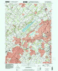
2023 Bedminster
Bucks County, PA
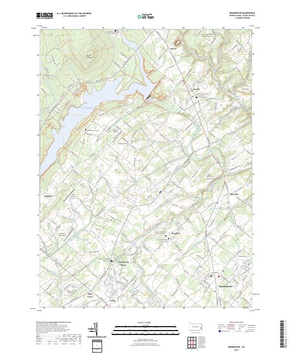
2023 Bristol
Bucks County, PA
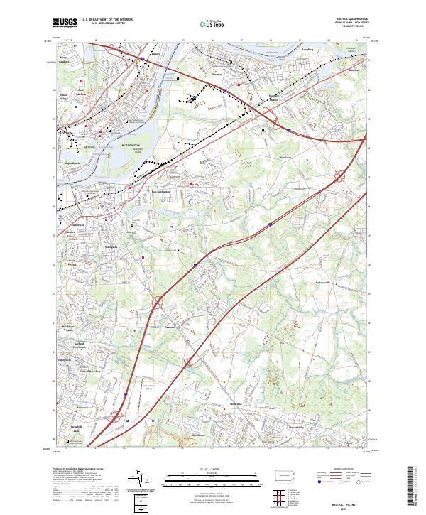
2023 Buckingham
Bucks County, PA
2023 Doylestown
Bucks County, PA
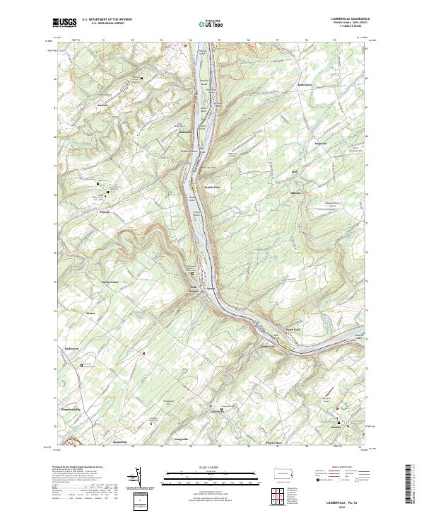
2023 Lumberville
Bucks County, PA
Featured Locations
- Hilltown Township, PA
- Bedminster Township, PA
- Buckingham Township, PA
- Doylestown, PA
- Warrington Township, PA