Loading...
Loading map...2022 Map of Dresden
USGS Topo · Published 2022About this map
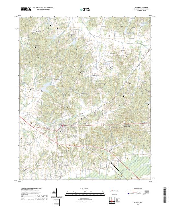
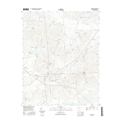
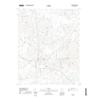
The Weakley County Courthouse stands as the central hub of Dresden, anchoring a landscape where small settlements like Fancy and Red Hill are linked by a dense network of country roads. This area of West Tennessee is characterized by its complex water management, evidenced by a series of numbered reservoirs including Cypress Cr Lake Number Twelve and Cypress Cr Lake Number Ten Lake that regulate the drainage toward the Middle Fork Obion River.
Find a feature on this map
122 named features on this map. Tap any name to fly to it.
Don’t see what you’re looking for? This feature index may not catch every label — zoom into the map to look around manually.
Map Details
Date Portrayed2022
Date Published2022
PublisherU.S. Geological Survey
Map TypeTopographic
Scale1:24,000
Physical Dimensions24 x 29 inches
Editions of this 2022 Dresden Map
This is the sole edition of this map. No revisions or reprints were ever made.
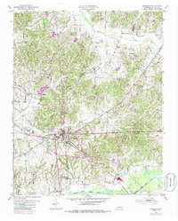
Historical Maps of Dresden Through Time
6 maps found
Featured Locations
Source Details
SourceU.S. Geological Survey
CopyrightPublic Domain