
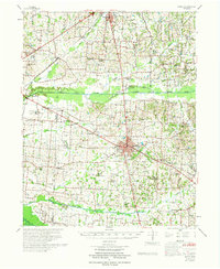
1967 Map of Pillowville
USGS Topo · Published 1968About this map
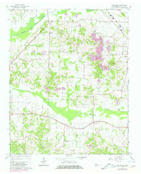
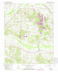
Pillowville and Gleason anchor this rural landscape in West Tennessee during the late 1960s, a region defined by its narrow creek valleys and specialized local industry. The northeast corner is marked by the Louisville And Nashville railroad line, while the broader landscape is dotted with several Claypits and a Claypit, indicating the importance of clay extraction to the local economy.
Find a feature on this map
37 named features on this map. Tap any name to fly to it.
Don’t see what you’re looking for? This feature index may not catch every label — zoom into the map to look around manually.
Map Details
Editions of this 1967 Pillowville Map
3 editions found
Other maps of this area

1950 · Martin
USGS Topo · 1:24,000

1952 · Dresden
USGS Topo · 1:24,000

1954 · Greenfield
USGS Topo · 1:24,000

1954 · Bradford
USGS Topo · 1:24,000

1956 · Dyersburg
USGS Topo · 1:250,000

1957 · Como
USGS Topo · 1:24,000

1966 · Trezevant West
USGS Topo · 1:24,000
1967 · Trezevant East
USGS Topo · 1:24,000
1967 · Mc Kenzie
USGS Topo · 1:24,000
1972 · Martin
USGS Topo · 1:62,500