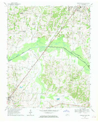
1967 Map of Trezevant East
USGS Topo · Published 1969About this map
The South Fork Obion River meanders across the center of this 1960s Carroll County landscape, defining the low-lying wetlands between Trezevant and McKenzie. The Louisville and Nashville railroad cuts a diagonal line through the terrain, serving as a primary corridor for small settlements like Jarrell and Wingo. This era shows a rural network deeply rooted in family and community institutions, with numerous landmarks such as St Johns Ch, Ebenezer Ch, and Mt Olive Cem dotting the countryside.
Find a feature on this map
45 named features on this map. Tap any name to fly to it.
Don’t see what you’re looking for? This feature index may not catch every label — zoom into the map to look around manually.
Map Details
Editions of this 1967 Trezevant East Map
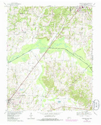
2 editions found
Other maps of this area

1936 · Center Ridge
USGS Topo · 1:24,000

1950 · Palmer Shelter
USGS Topo · 1:24,000

1955 · Henry
USGS Topo · 1:24,000

1955 · Huntingdon
USGS Topo · 1:24,000

1956 · Dyersburg
USGS Topo · 1:250,000

1956 · Blytheville
USGS Topo · 1:250,000

1959 · Blytheville
USGS Topo · 1:250,000

1966 · Mc Lemoresville
USGS Topo · 1:24,000

1966 · Atwood
USGS Topo · 1:24,000

1966 · Trezevant West
USGS Topo · 1:24,000