
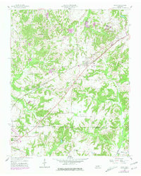
1955 Map of Henry
USGS Topo · Published 1957About this map
The town of Henry serves as a central hub in this mid-century landscape, positioned along the Louisville And Nashville railroad. This transportation corridor slices diagonally through the terrain, connecting smaller communities like Macedonia and the edge of McKenzie. The geography is defined by a dense network of watercourses, including Caledonia Creek and Guins Creek, which are surrounded by numerous family cemeteries such as Dinwiddie Cem, Dillahunty Cem, and Rushing Cem.
Find a feature on this map
35 named features on this map. Tap any name to fly to it.
Don’t see what you’re looking for? This feature index may not catch every label — zoom into the map to look around manually.
Map Details
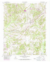
Editions of this 1955 Henry Map
3 editions found
Other maps of this area

1936 · Mansfield
USGS Topo · 1:24,000

1936 · Vale
USGS Topo · 1:24,000

1936 · Paris
USGS Topo · 1:24,000

1950 · Osage
USGS Topo · 1:24,000

1950 · Paris
USGS Topo · 1:24,000

1950 · Vale
USGS Topo · 1:24,000

1950 · Mansfield
USGS Topo · 1:24,000

1955 · Huntingdon
USGS Topo · 1:24,000

1956 · Dyersburg
USGS Topo · 1:250,000

1957 · Como
USGS Topo · 1:24,000