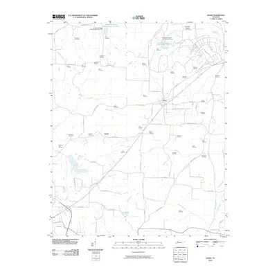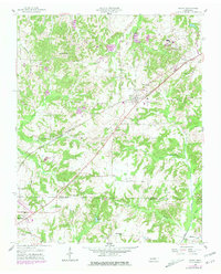
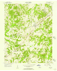
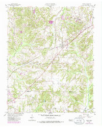
1955 Map of Henry
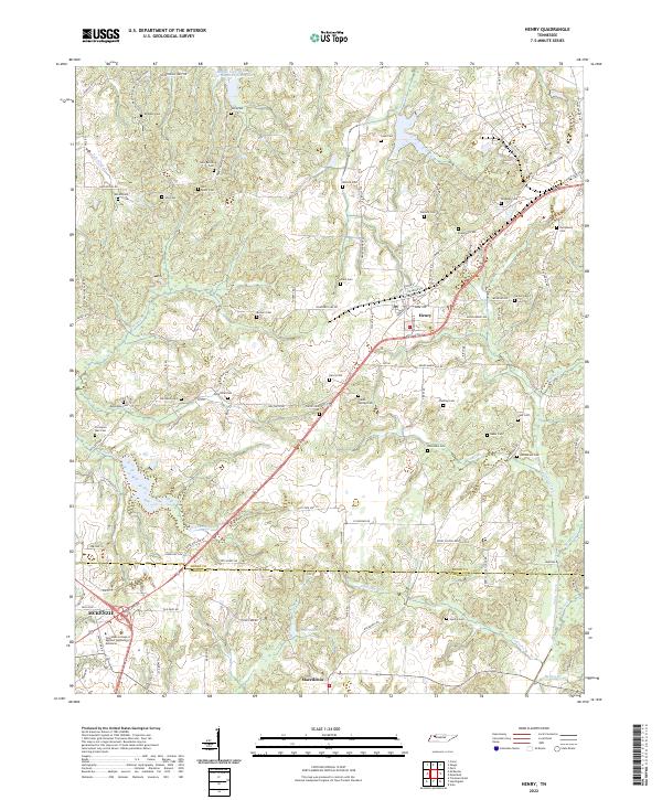
USGS Topo · Published 1981About this map
Henry and Macedonia serve as the primary hubs in this agricultural landscape of West Tennessee, where the Louisville and Nashville railroad cuts a sharp diagonal across the terrain. The map documents a dense network of local institutions, from small rural schools like Caton Sch and Macedonia Sch to several country churches including New Bethel Ch and Bethlehem Ch. The landscape is defined by its drainage patterns, with Neil Ditch and Tumbling Creek winding through the hills, while family-named burial grounds like Caton Springs Cem and the Rushing Cem provide valuable points of interest for genealogists. To the southwest, the edge of McKenzie appears near a modern Radio Tower (WHDM), highlighting the intersection of mid-century infrastructure and traditional settlement patterns along the Henry and Carroll county line.
Find a feature on this map
34 named features on this map. Tap any name to fly to it.
Don’t see what you’re looking for? This feature index may not catch every label — zoom into the map to look around manually.
Map Details
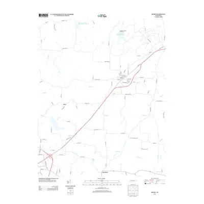
Editions of this 1955 Henry Map
3 editions found
Historical Maps of McKenzie Through Time
6 maps found