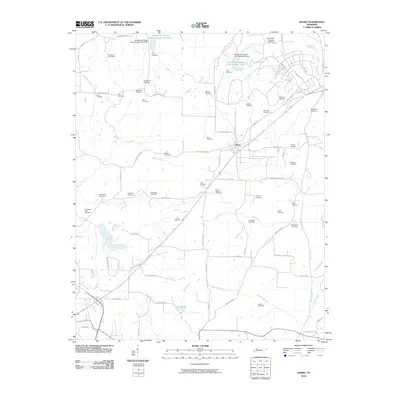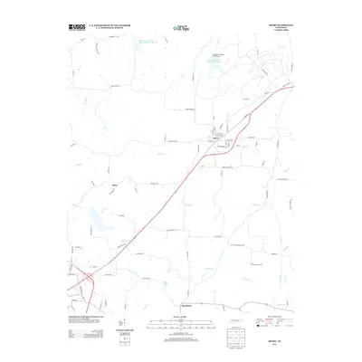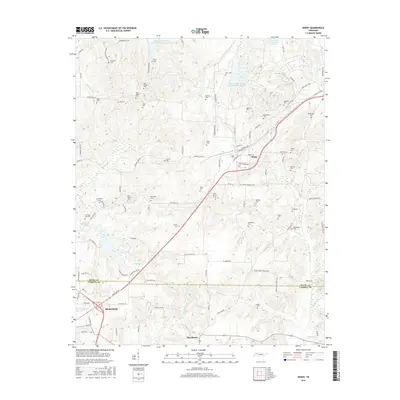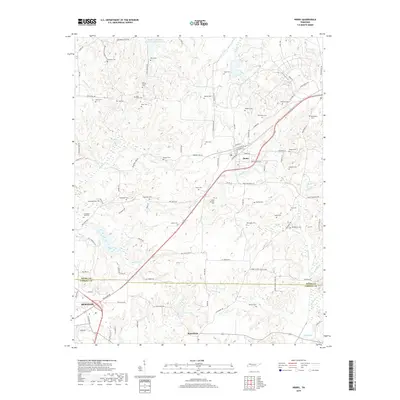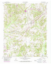
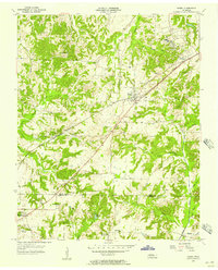
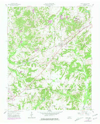
1955 Map of Henry
USGS Topo · Published 1986About this map
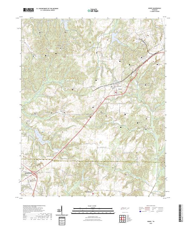
Henry and the surrounding farmland of west Tennessee appear here in a detailed survey from the mid-1950s, with updates reflecting the landscape through the 1980s. The Seaboard rail line cuts diagonally across the terrain, serving as a primary corridor through the hills and hollows of the Henry and Carroll County border. This area is characterized by a dense network of local landmarks, including numerous small burial grounds such as Blatchlett Cem and Caton Springs Cem, which provide significant data for genealogical research in this rural pocket.
Find a feature on this map
34 named features on this map. Tap any name to fly to it.
Don’t see what you’re looking for? This feature index may not catch every label — zoom into the map to look around manually.
Map Details
Editions of this 1955 Henry Map
3 editions found
Historical Maps of McKenzie Through Time
6 maps found