
1950 Map of Osage
USGS Topo · Published 1950About this map
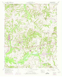
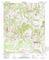
Cottage Grove and Osage anchor this rural landscape in Henry County, where small agricultural communities are interspersed with numerous family cemeteries and country churches. The geography is defined by the Tennessee Divide, which separates northern drainages like Walnut Fork Creek from the Middle Fork Obion River system to the south. Local water management is evident along the river bottom, where a Drainage Canal runs parallel to the natural waterway, reflecting mid-century efforts to reclaim fertile land for farming.
Find a feature on this map
41 named features on this map. Tap any name to fly to it.
Don’t see what you’re looking for? This feature index may not catch every label — zoom into the map to look around manually.
Map Details
Editions of this 1950 Osage Map
3 editions found
Other maps of this area

1936 · Conyersville
USGS Topo · 1:24,000

1936 · Crossland
USGS Topo · 1:24,000

1936 · Mansfield
USGS Topo · 1:24,000

1936 · Paris
USGS Topo · 1:24,000

1950 · Paris
USGS Topo · 1:24,000

1950 · Mansfield
USGS Topo · 1:24,000

1950 · Puryear
USGS Topo · 1:24,000

1950 · Cottage Grove
USGS Topo · 1:24,000

1955 · Henry
USGS Topo · 1:24,000
1956 · Palmersville
USGS Topo · 1:24,000