
1950 Map of Cottage Grove
USGS Topo · Published 1954About this map
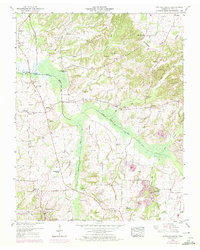
The Tennessee Valley Divide cuts through the northeast corner of this map, separating the drainage of the North Fork Obion River from the Tennessee River system. This 1950 field-examined survey reveals a highly dispersed agricultural landscape across Henry County, where small rural communities like Cottage Grove and Jones Mill served as local hubs. The region is characterized by an exceptional density of family-named cemeteries, including Kuykendall Cem, Maxwell Cem, and Paschall Cem, suggesting a deep-rooted multi-generational settlement pattern. Small country churches and schoolhouses, such as Dogwood Sch and North Fork Church, are scattered along the creek valleys. Economic activity is represented by several Clay pits near Hico Ch, while the southern reaches near Spring Hill Creek show the intricate network of farm roads and river bottomlands before modern development altered the local watercourses.
Find a feature on this map
55 named features on this map. Tap any name to fly to it.
Don’t see what you’re looking for? This feature index may not catch every label — zoom into the map to look around manually.
Map Details
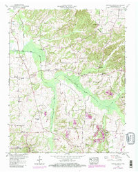
Editions of this 1950 Cottage Grove Map
3 editions found
Other maps of this area

1936 · Conyersville
USGS Topo · 1:24,000

1936 · Hazel
USGS Topo · 1:24,000

1936 · Crossland
USGS Topo · 1:24,000

1936 · Lynn Grove
USGS Topo · 1:24,000

1936 · Paris
USGS Topo · 1:24,000

1950 · Osage
USGS Topo · 1:24,000

1950 · Paris
USGS Topo · 1:24,000

1950 · Puryear
USGS Topo · 1:24,000
1951 · Hazel
USGS Topo · 1:24,000
1951 · Murray
USGS Topo · 1:62,500