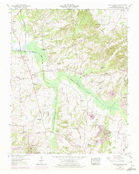
1950 Map of Cottage Grove
USGS Topo · Published 1972About this map
Cottage Grove serves as the primary hub in this West Tennessee landscape, where the L & N RR corridor and a Dismantled railroad reflect the changing transportation patterns of Henry County. The terrain is defined by the Tennessee Valley Divide, with drainage canal systems like the North Fork Obion River and Walnut Fork illustrating early 20th-century efforts to manage the wetlands for agriculture. These waterways are flanked by numerous family cemeteries such as Paschall Cem, Brisendine Cem, and Kuykendall Cem, providing a dense record for genealogical research. Smaller communities like Jones Mill, Midway, and Center are interconnected by rural roads, while local centers of life are marked by the Blake Sch and North Fork Church. The presence of Clay pits in the southeast indicates local industrial activity tied to the region's natural resources.
Find a feature on this map
60 named features on this map. Tap any name to fly to it.
Don’t see what you’re looking for? This feature index may not catch every label — zoom into the map to look around manually.
Map Details
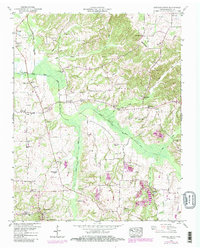
Editions of this 1950 Cottage Grove Map
3 editions found
Other maps of this area

1936 · Conyersville
USGS Topo · 1:24,000

1936 · Hazel
USGS Topo · 1:24,000

1936 · Crossland
USGS Topo · 1:24,000

1936 · Lynn Grove
USGS Topo · 1:24,000

1936 · Paris
USGS Topo · 1:24,000

1950 · Osage
USGS Topo · 1:24,000

1950 · Paris
USGS Topo · 1:24,000

1950 · Puryear
USGS Topo · 1:24,000

1950 · Cottage Grove
USGS Topo · 1:24,000
1951 · Hazel
USGS Topo · 1:24,000