
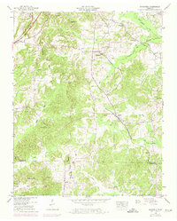
1950 Map of Mansfield
USGS Topo · Published 1953About this map
The Tennessee Valley Divide snakes through this 1950s landscape, separating the intricate drainage systems of the West Sandy Creek and Guinn Creek basins. This survey, compiled from 1948 aerial photography, documents a deeply rural portion of West Tennessee defined by small farming communities and numerous family burial grounds. The settlement of Mansfield serves as a local hub, featuring the Mansfield School and nearby Shiloh Ch. To the north, the Louisville and Nashville railroad cuts through Routon, while the Nashville Chattanooga and St Louis line follows a more easterly course through Van Dyke. The map is particularly notable for its dense cluster of cemeteries, such as Dumpling Hill Cem and Whitehead Cem, which offer significant data for genealogists tracing families along the Henry and Carroll County line.
Find a feature on this map
51 named features on this map. Tap any name to fly to it.
Don’t see what you’re looking for? This feature index may not catch every label — zoom into the map to look around manually.
Map Details
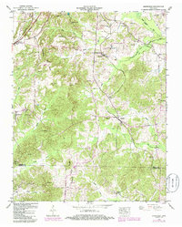
Editions of this 1950 Mansfield Map
3 editions found
Other maps of this area

1936 · Mansfield
USGS Topo · 1:24,000

1936 · Vale
USGS Topo · 1:24,000

1936 · Bruceton
USGS Topo · 1:24,000

1936 · Manleyville
USGS Topo · 1:24,000

1936 · Paris
USGS Topo · 1:24,000

1936 · Springville
USGS Topo · 1:24,000

1938 · Springville
USGS Topo · 1:24,000

1940 · Manleyville
USGS Topo · 1:24,000

1941 · Manleyville
USGS Topo · 1:24,000

1950 · Osage
USGS Topo · 1:24,000