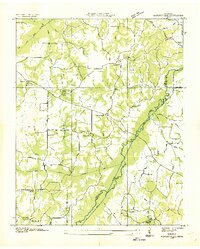
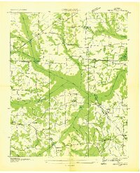
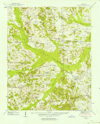
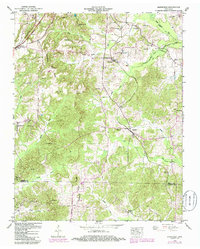
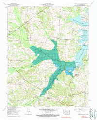
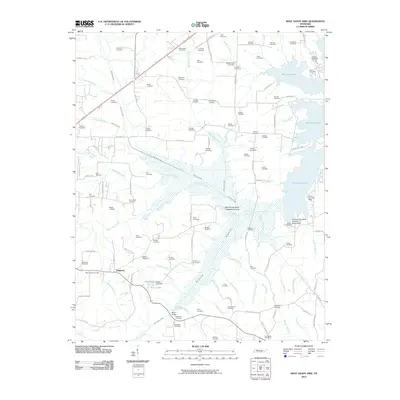
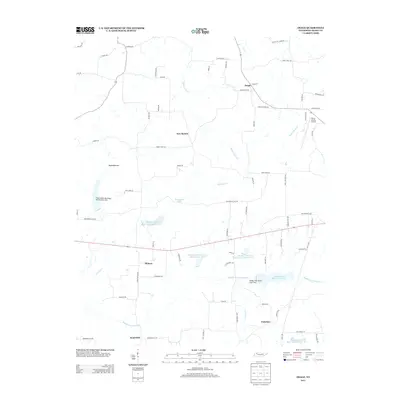
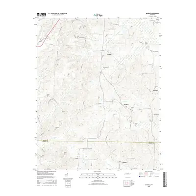
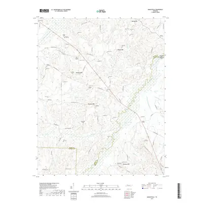
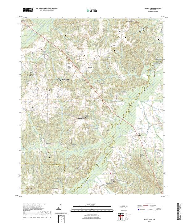
1936 Map of Manleyville
USGS Topo · Published 1936About this map
The Big Sandy River snakes through the lowlands of Henry County, joined by the Ramble Creek Drainage Ditch and numerous small branches such as Beasley Branch and Grove Branch. In this 1930s landscape, the small settlement of Manleyville serves as a local hub near the Mt Pleasant Cem. The area is densely packed with rural institutions that suggest a closely-knit agricultural community, from Manley Chapel and its associated Manley Chapel Cem to the oddly named Smith College located near the southern boundary.
Find a feature on this map
53 named features on this map. Tap any name to fly to it.
Don’t see what you’re looking for? This feature index may not catch every label — zoom into the map to look around manually.
Map Details
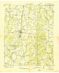
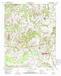
Editions of this 1936 Manleyville Map
This is the sole edition of this map. No revisions or reprints were ever made.
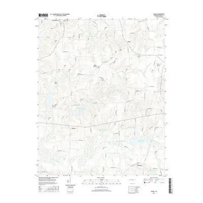
Historical Maps of Bain Through Time
39 maps found

1936 Centerville Landing
Henry County, TN
1936 Conyersville
Henry County, TN
1936 Crossland
Henry County, TN
1936 Manleyville
Henry County, TN
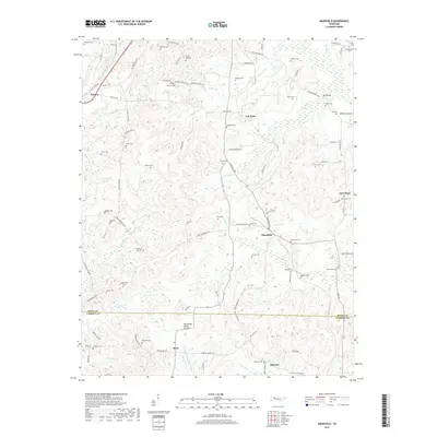
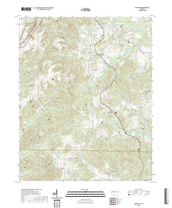
1936 Mansfield
Henry County, TN
1936 Springville
Henry County, TN
1938 Springville
Henry County, TN
1940 Manleyville
Henry County, TN
1941 Manleyville
Henry County, TN
1950 Mansfield
Henry County, TN
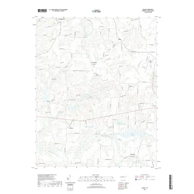
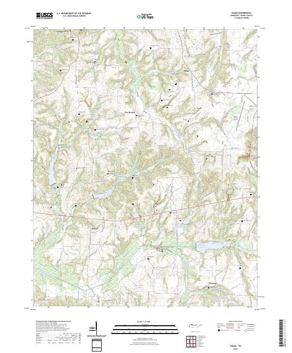
1950 Osage
Henry County, TN
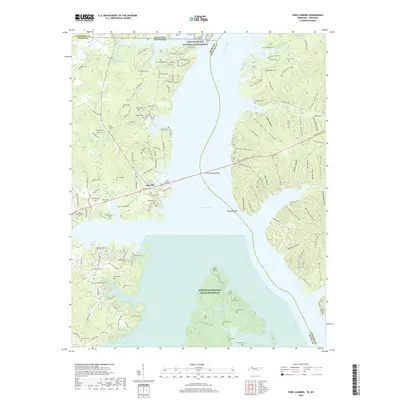
1950 Paris Landing
Henry County, TN
1965 Manleyville
Henry County, TN
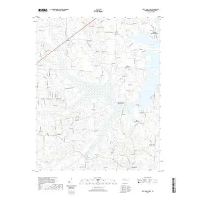
1965 West Sandy Dike
Henry County, TN
2010 Manleyville
Henry County, TN
2010 Mansfield
Henry County, TN
2010 Osage
Henry County, TN
2010 West Sandy Dike
Henry County, TN
2011 Paris Landing
Henry County, TN
2013 Manleyville
Henry County, TN
2013 Mansfield
Henry County, TN
2013 Osage
Henry County, TN
2013 Paris Landing
Henry County, TN
2013 West Sandy Dike
Henry County, TN
2016 Manleyville
Henry County, TN
2016 Mansfield
Henry County, TN
2016 Osage
Henry County, TN
2016 Paris Landing
Henry County, TN
2016 West Sandy Dike
Henry County, TN
2019 Manleyville
Henry County, TN
2019 Mansfield
Henry County, TN
2019 Osage
Henry County, TN
2019 Paris Landing
Henry County, TN
2019 West Sandy Dike
Henry County, TN
2022 Manleyville
Henry County, TN
2022 Mansfield
Henry County, TN
2022 Osage
Henry County, TN
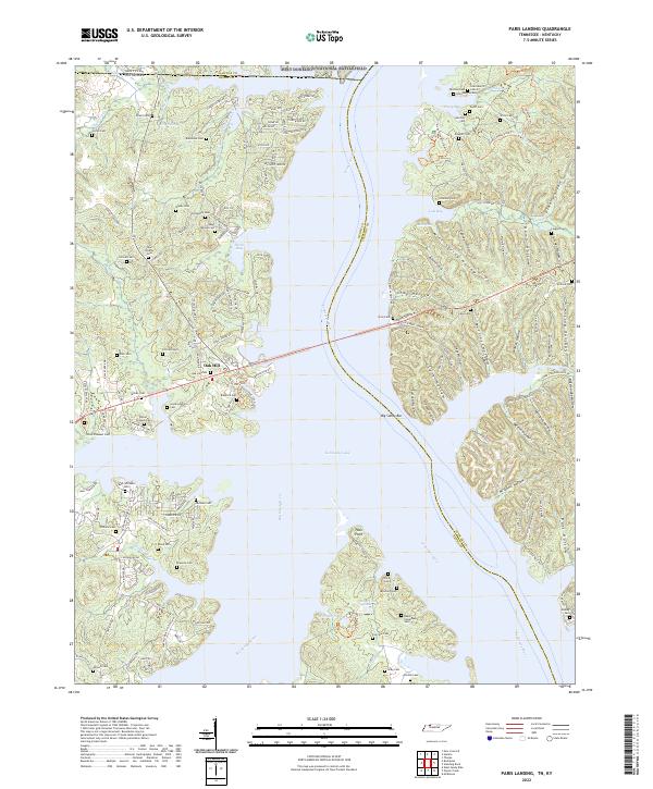
2022 Paris Landing
Henry County, TN
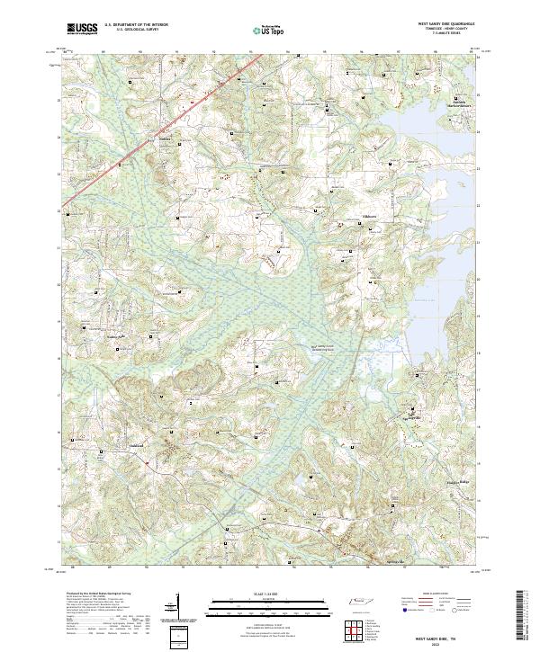
2022 West Sandy Dike
Henry County, TN