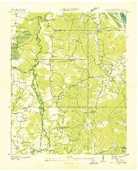
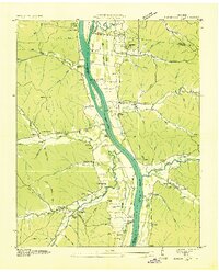
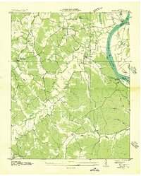
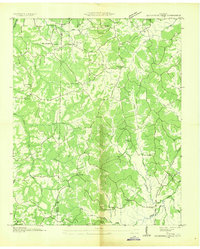
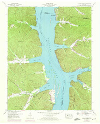
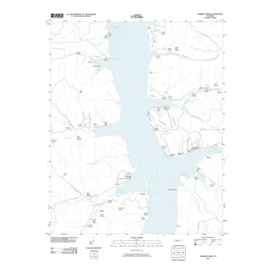
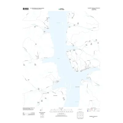
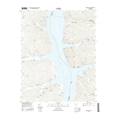
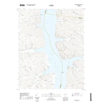
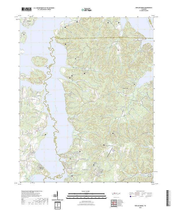
1936 Map of Poplar Creek
USGS Topo · Published 1936About this map
The Big Sandy River meanders through this 1930s landscape, flanked by a network of drainage infrastructure like the West Drainage Ditch. The area, split between Henry, Benton, and Stewart counties, shows a rural economy centered on small settlements and river access points such as Murphy Landing. To the west, the Sulphur Swamp and Sulphur Well denote a distinct hydrological pocket near the river's path.
Find a feature on this map
72 named features on this map. Tap any name to fly to it.
Don’t see what you’re looking for? This feature index may not catch every label — zoom into the map to look around manually.
Map Details
Editions of this 1936 Poplar Creek Map
This is the sole edition of this map. No revisions or reprints were ever made.
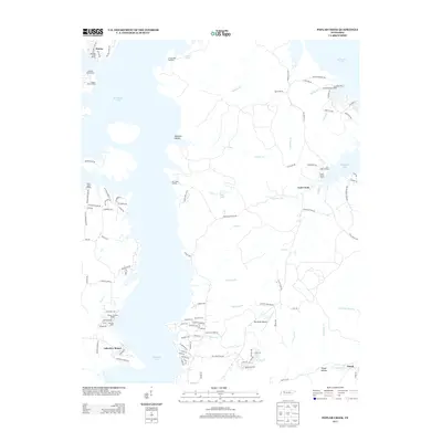
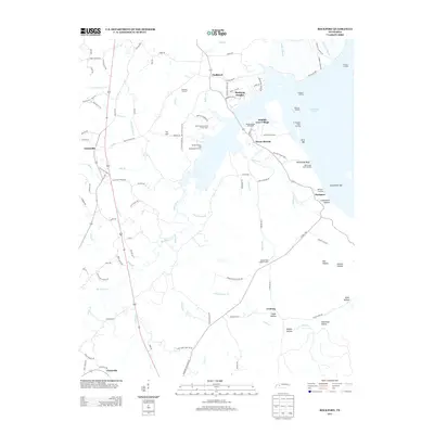
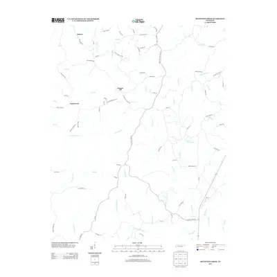
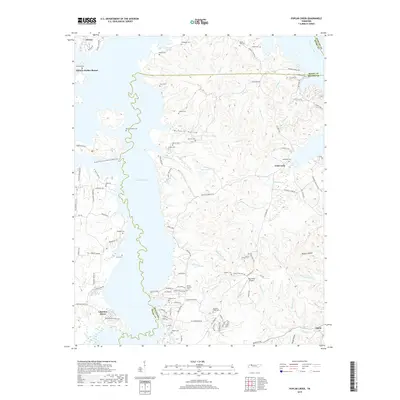
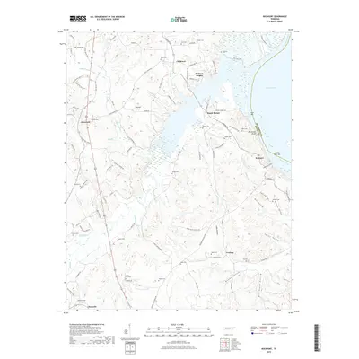
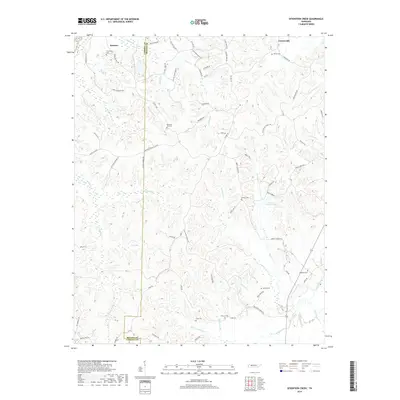
Historical Maps of Moons Through Time
28 maps found
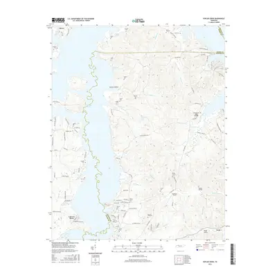
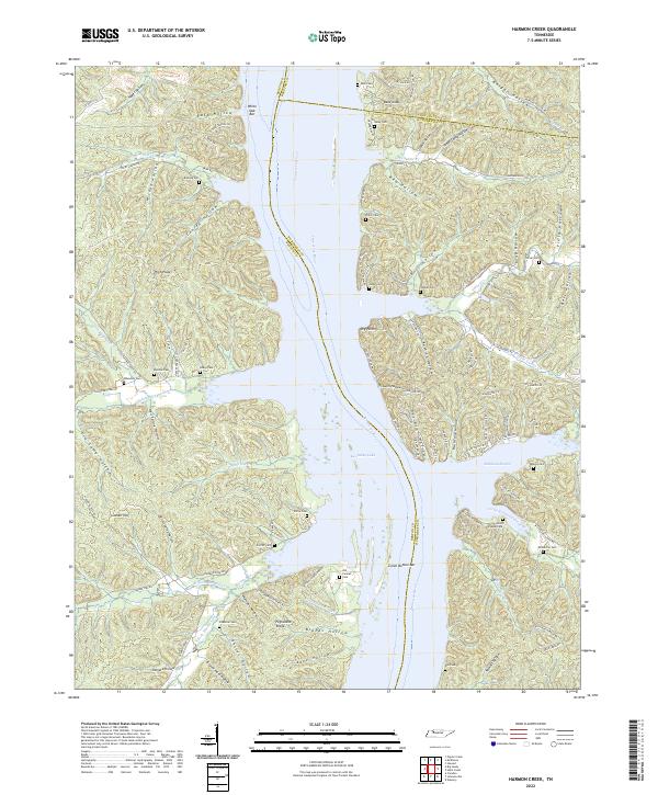
1936 Harmon Creek
Benton County, TN
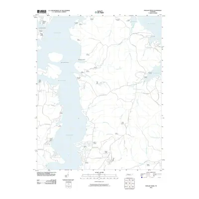
1936 Poplar Creek
Benton County, TN
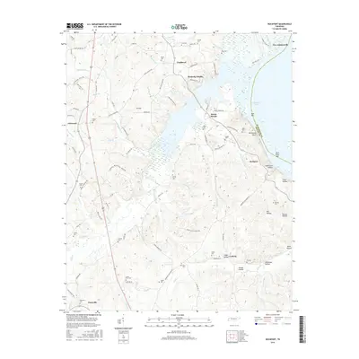
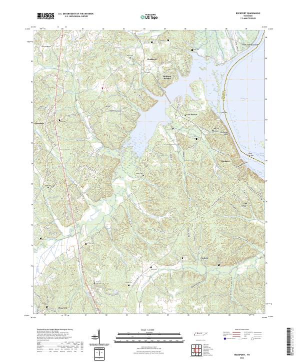
1936 Rockport
Benton County, TN
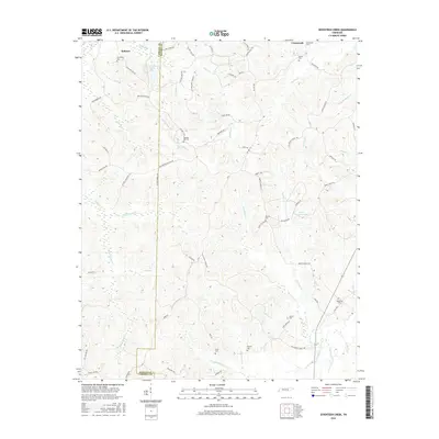
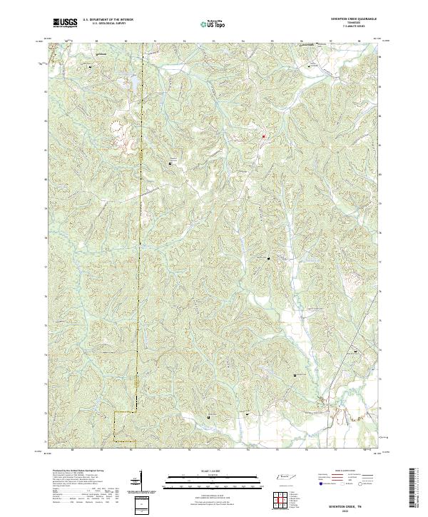
1936 Seventeen Creek
Benton County, TN
1949 Harmon Creek
Benton County, TN
1949 Poplar Creek
Benton County, TN
1950 Rockport
Benton County, TN
1950 Seventeen Creek
Benton County, TN
2010 Harmon Creek
Benton County, TN
2010 Poplar Creek
Benton County, TN
2010 Rockport
Benton County, TN
2010 Seventeen Creek
Benton County, TN
2013 Harmon Creek
Benton County, TN
2013 Poplar Creek
Benton County, TN
2013 Rockport
Benton County, TN
2013 Seventeen Creek
Benton County, TN
2016 Harmon Creek
Benton County, TN
2016 Poplar Creek
Benton County, TN
2016 Rockport
Benton County, TN
2016 Seventeen Creek
Benton County, TN
2019 Harmon Creek
Benton County, TN
2019 Poplar Creek
Benton County, TN
2019 Rockport
Benton County, TN
2019 Seventeen Creek
Benton County, TN
2022 Harmon Creek
Benton County, TN
2022 Poplar Creek
Benton County, TN
2022 Rockport
Benton County, TN
2022 Seventeen Creek
Benton County, TN