Old Maps of Lick Creek, Tennessee
Explore 9 old maps of Lick Creek, spanning from 1936 to today. These high-resolution historic maps reveal how streets, neighborhoods, landmarks, and natural features evolved over time — perfect for genealogy, metal detecting, research, and local history exploration.
What you can do with these maps:
- See how Lick Creek changed over time: Compare historical maps to modern-day views to trace roads, homesites, rail lines & more.
- View detailed metadata: Each map includes creators, publishers, year, scale, and archive source.
- Overlay maps with satellite & LiDAR: Visualize the past alongside modern tools to explore terrain & human change.
- Trusted historical sources: Maps sourced from the USGS, Library of Congress, and other archives.
- Access maps your way: View online, download high-res files, or order prints for personal or research use.
Start exploring old maps of Lick Creek to uncover forgotten places, hidden landmarks, and the deep history beneath your feet.
Lick Creek, TN maps
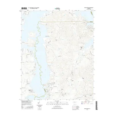
(9)- 1936 Map of Poplar Creek
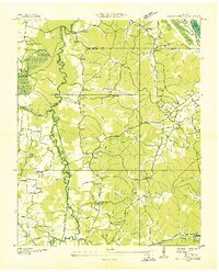 1936 Poplar Creek1936 Print · USGSBenton and Henry counties are shown in the mid-1930s as the Tennessee Valley Authority began shaping the region's river systems. Researchers can trace rural life through numerous country schools and landmarks like Sulphur Well, Murphy Landing, and Odem Sch.
 - 1949 Map of Poplar Creek, 1953 Print
 1949 Poplar Creek1953 Print · USGSBenton County river life and upland farming are documented here just after the war, as the reservoir system reshaped the shoreline. Researchers can locate dozens of family sites and landmarks, including Culpepper Cem, Antioch Boat Harbor, and the Louisville and Nashville rail stop at Faxon.3 unique versions available
 - 1956 Map of Dyersburg, 1960 Print
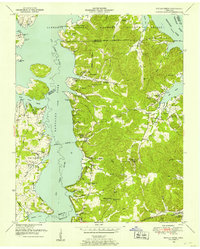
 1956 Dyersburg1960 Print · USGSThe Four Rivers region comes alive in the mid-fifties, capturing the intricate borderlands of Tennessee, Kentucky, and Missouri. Genealogists and historians can trace the rail-and-river networks connecting Dyersburg, Caruthersville, and the shoreline of Reelfoot Lake.4 unique versions available
 - 1986 Map of McKenzie
 1986 McKenzie1986 Print · USGSWest Tennessee in the mid-eighties was a landscape defined by its deep river forks and the massive waters of Kentucky Lake. Researchers can trace the rail lines of the Louisville & Nashville RR and find local landmarks from Skullbone to the Paris Landing State Park.3 unique versions available
 - 2010 Map of Poplar Creek, 2010 Print
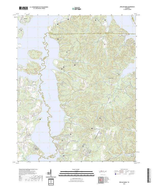
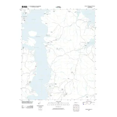 2010 Poplar Creek2010 Print · USGSCovers Lick Creek, including Lakeview Manor, Moons, and other nearby areas
 - 2013 Map of Poplar Creek, 2013 Print
 2013 Poplar Creek2013 Print · USGSCovers Lick Creek, including Lakeview Manor, Moons, and other nearby areas
 - 2016 Map of Poplar Creek, 2016 Print
 2016 Poplar Creek2016 Print · USGSCovers Lick Creek, including Lakeview Manor, Moons, and other nearby areas
 - 2019 Map of Poplar Creek, 2019 Print
 2019 Poplar Creek2019 Print · USGSCovers Lick Creek, including Lakeview Manor, Moons, and other nearby areas
 - 2022 Map of Poplar Creek, 2022 Print
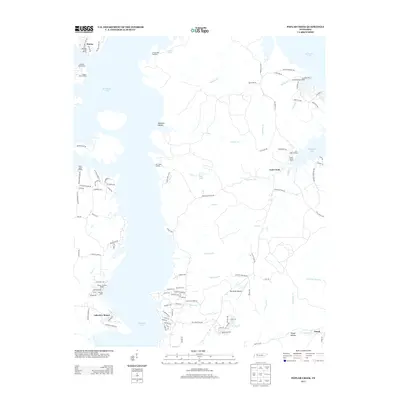
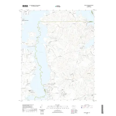
 2022 Poplar Creek2022 Print · USGSBenton and Henry counties come alive in the early 2020s as the Big Sandy River meets Kentucky Lake. Genealogists can locate numerous family burial sites such as Beaton Cem and Liberty Cem, or trace the rural roads leading to Faxon.
End of results
Showing maps 1-9 of 9
Top cities near Lick Creek
Frequently asked questions
- What are the different types of historical maps available for Lick Creek?
- What is the oldest map of Lick Creek?
- Where can I purchase historical maps of Lick Creek for my home or office?
- Where can I download high-res historical maps of Lick Creek?
- Are there historical topographic maps available for Lick Creek?
- Is there historical aerial imagery available for Lick Creek?
- Where are historical maps of Lick Creek sourced from?