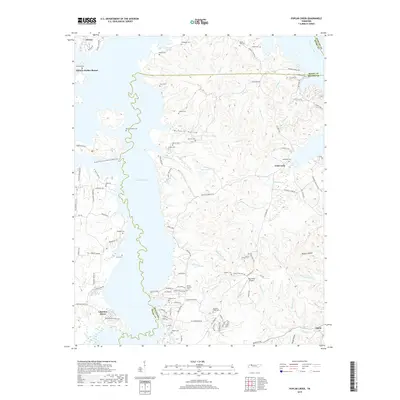
2019 Map of Poplar Creek
USGS Topo · Published 2019About this map
Kentucky Lake dominates the western shoreline of this map, reflecting the altered geography of the Tennessee River valley following mid-century damming. The area is defined by a series of long, finger-like inlets such as Poplar Creek and Bennetts Creek that carve into the high ground of Henry County. Modern developments like Lakeview Manor and Antioch Harbor Resort occupy the waterfront, while the interior remains dotted with numerous family and community burial grounds, including the Bond-Limekiln Cem and Mount Zion Cem. This proximity of recreational leisure to deep-rooted ancestral sites illustrates the layered history of the shoreline. To the east, the terrain transitions into a more secluded landscape characterized by McSwain Hollow and Homer Hollow, while the Big Sandy Airpark serves as a small aviation hub for the surrounding rural communities.
Find a feature on this map
105 named features on this map. Tap any name to fly to it.
Don’t see what you’re looking for? This feature index may not catch every label — zoom into the map to look around manually.
Map Details
Editions of this 2019 Poplar Creek Map
This is the sole edition of this map. No revisions or reprints were ever made.
Other maps of this area

1936 · Poplar Creek
USGS Topo · 1:24,000

1936 · Buchanan
USGS Topo · 1:24,000

1936 · McKinnon
USGS Topo · 1:24,000

1936 · Big Sandy
USGS Topo · 1:24,000

1936 · Centerville Landing
USGS Topo · 1:24,000

1936 · Harmon Creek
USGS Topo · 1:24,000

1936 · Standing Rock
USGS Topo · 1:24,000

1936 · Manleyville
USGS Topo · 1:24,000

1936 · Springville
USGS Topo · 1:24,000

1938 · Springville
USGS Topo · 1:24,000