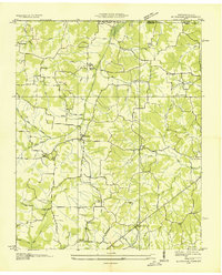
1936 Map of Buchanan
USGS Topo · Published 1936About this map
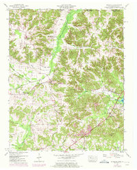
Buchanan serves as the focal point of this 1930s landscape along the Tennessee-Kentucky border, before the significant hydrological changes of the mid-century. The terrain is defined by a dense network of drainage projects, including the North Fork Blood River Drainage Ditch and South Fork Blood River Drainage Ditch, indicating an era of intensive agricultural land reclamation. Numerous country schools like Pine Hill Sch and Oak Grove Sch are scattered across the quadrangle, reflecting a period when rural education was highly localized.
Find a feature on this map
51 named features on this map. Tap any name to fly to it.
Don’t see what you’re looking for? This feature index may not catch every label — zoom into the map to look around manually.
Map Details
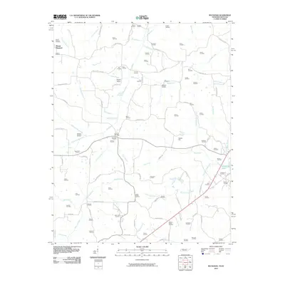
Editions of this 1936 Buchanan Map
This is the sole edition of this map. No revisions or reprints were ever made.
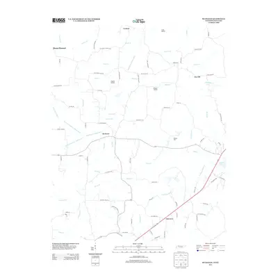
Historical Maps of Pine Hill Through Time
7 maps found