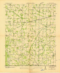
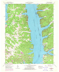
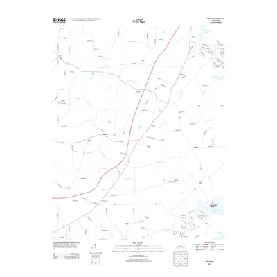
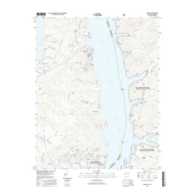
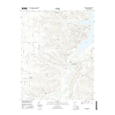
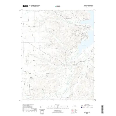
1942 Map of New Concord
USGS Topo · Published 1942About this map
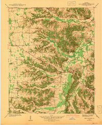
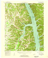
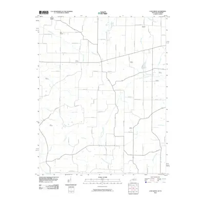
Pottertown and the rural crossroads of New Concord anchor this Calloway County landscape as it was surveyed just before the United States entered World War II. The terrain is defined by a dense network of tributaries including Blood River, Wildcat Creek, and Panther Creek, which carve through the ridges of western Kentucky. This era shows a community structured around small country schools and churches, with Stone Sch, Cherry Sch, and New Providence Sch serving local families.
Find a feature on this map
38 named features on this map. Tap any name to fly to it.
Don’t see what you’re looking for? This feature index may not catch every label — zoom into the map to look around manually.
Map Details
Editions of this 1942 New Concord Map
This is the sole edition of this map. No revisions or reprints were ever made.
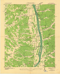
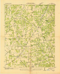
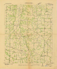
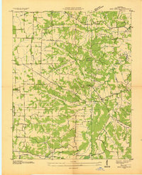
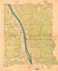
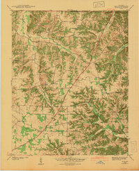
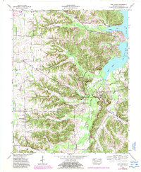
Historical Maps of Cherry Corner Through Time
40 maps found
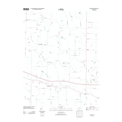
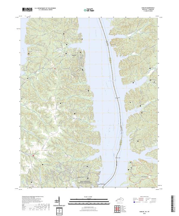
1936 Hamlin
Calloway County, KY
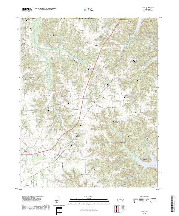
1936 Hico
Calloway County, KY
1936 Kirksey
Calloway County, KY
1936 Lynn Grove
Calloway County, KY
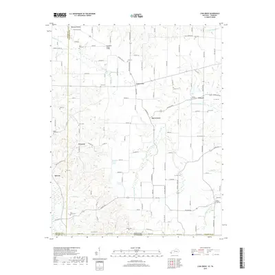
1936 New Concord
Calloway County, KY
1936 Rushing
Calloway County, KY
1942 Hico
Calloway County, KY
1942 New Concord
Calloway County, KY
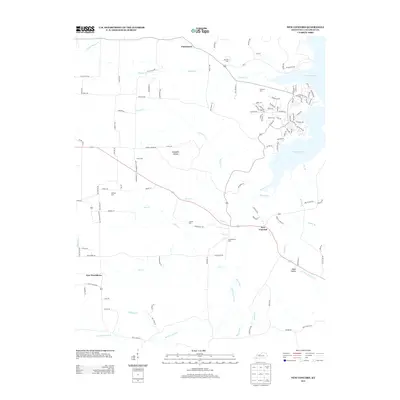
1950 Hamlin
Calloway County, KY
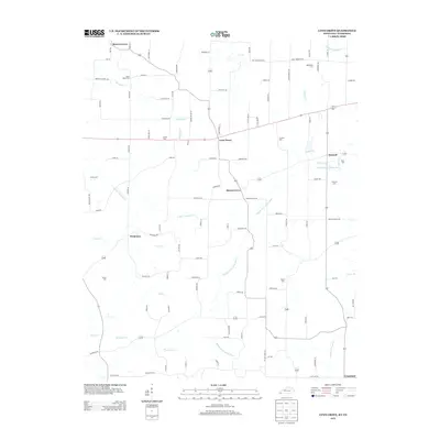
1950 Rushing Creek
Calloway County, KY
1951 Kirksey
Calloway County, KY
1951 Lynn Grove
Calloway County, KY

1955 Hico
Calloway County, KY
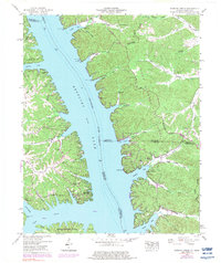
1955 New Concord
Calloway County, KY
1955 New Concord
Calloway County, KY
2010 Hico
Calloway County, KY
2010 Kirksey
Calloway County, KY
2010 Lynn Grove
Calloway County, KY
2010 New Concord
Calloway County, KY
2011 Hamlin
Calloway County, KY
2013 Hamlin
Calloway County, KY
2013 Hico
Calloway County, KY
2013 Kirksey
Calloway County, KY
2013 Lynn Grove
Calloway County, KY
2013 New Concord
Calloway County, KY
2016 Hamlin
Calloway County, KY
2016 Hico
Calloway County, KY
2016 Kirksey
Calloway County, KY
2016 Lynn Grove
Calloway County, KY
2016 New Concord
Calloway County, KY
2019 Hamlin
Calloway County, KY
2019 Hico
Calloway County, KY
2019 Kirksey
Calloway County, KY
2019 Lynn Grove
Calloway County, KY
2019 New Concord
Calloway County, KY
2022 Hamlin
Calloway County, KY
2022 Hico
Calloway County, KY
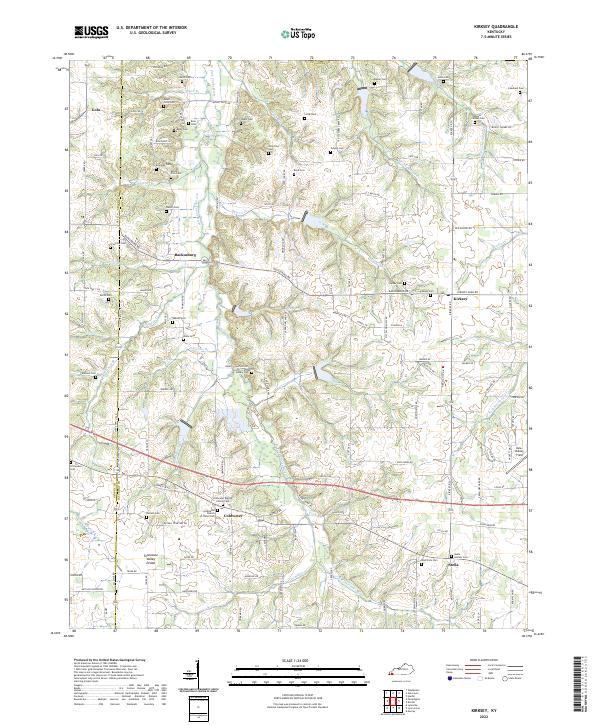
2022 Kirksey
Calloway County, KY
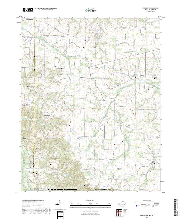
2022 Lynn Grove
Calloway County, KY
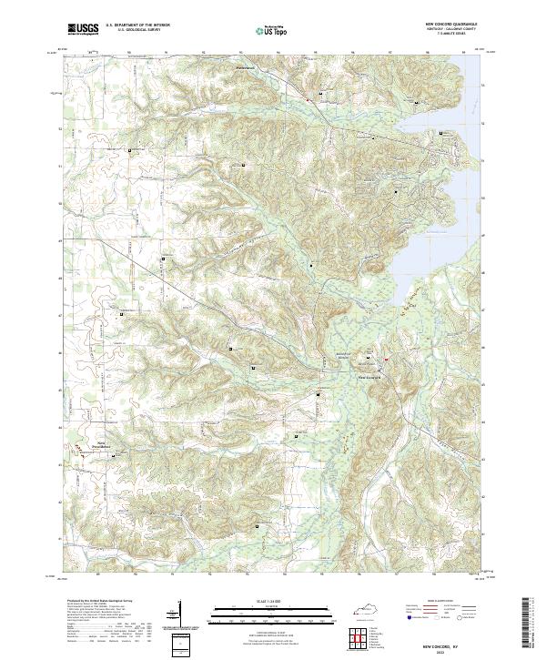
2022 New Concord
Calloway County, KY