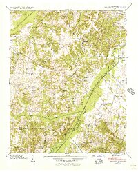
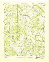
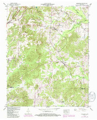
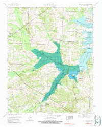
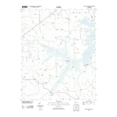
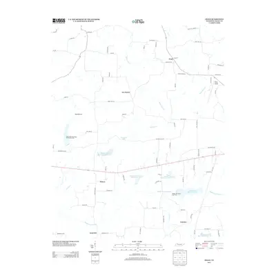
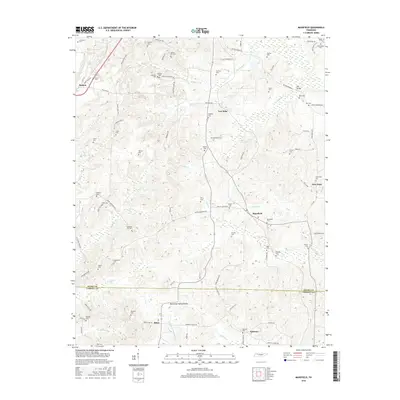
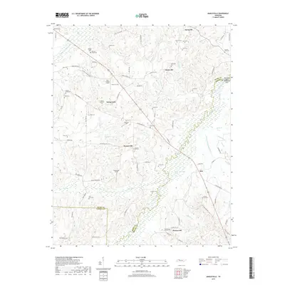
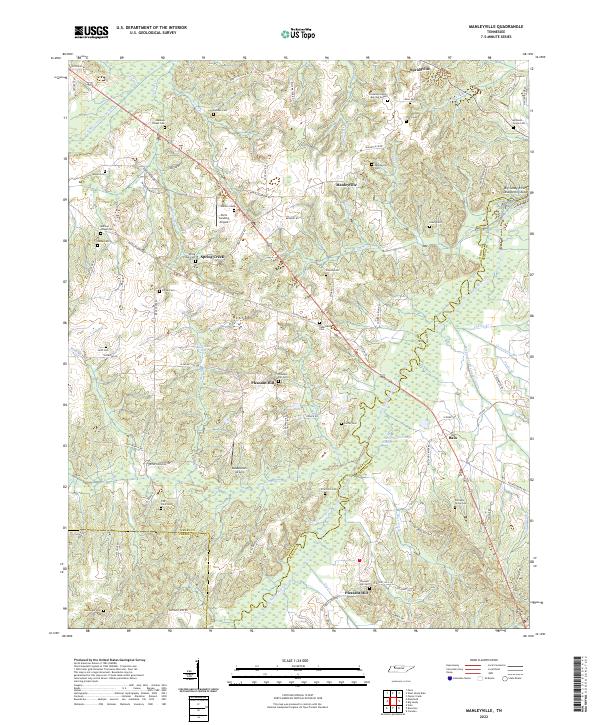
1940 Map of Manleyville
USGS Topo · Published 1940About this map
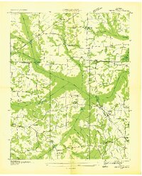
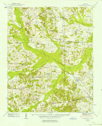
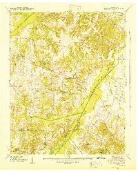
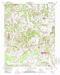
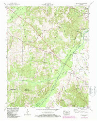
The Big Sandy River forms a wide, complex drainage basin where Henry and Benton Counties meet, characterized in the 1940s by an extensive network of man-made water management. Long straight channels like the Bear Creek Drainage Ditch and Dry Creek Drainage DITCH cut through the bottomlands, reflecting early efforts to manage the landscape for agriculture. The settlement pattern is defined by small, dispersed rural communities such as Manleyville and Wyly, supported by a dense network of local institutions. Genealogists will find a wealth of specific family and community landmarks, including Smith College, Spring Creek School, and Manley Chapel Cemetery. The presence of numerous small cemeteries such as Walters Cem and Haines Cem near Bentley Creek illustrates the deep-rooted family history of this West Tennessee river valley before later twentieth-century developments altered the local geography.
Find a feature on this map
54 named features on this map. Tap any name to fly to it.
Don’t see what you’re looking for? This feature index may not catch every label — zoom into the map to look around manually.
Map Details
Editions of this 1940 Manleyville Map
This is the sole edition of this map. No revisions or reprints were ever made.
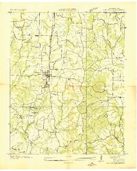
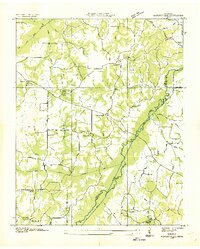
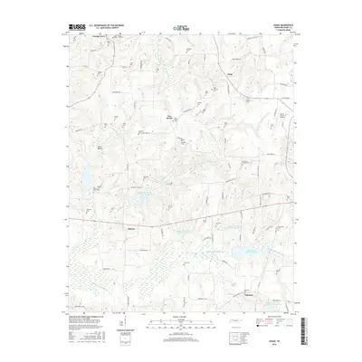
Historical Maps of Bain Through Time
39 maps found

1936 Centerville Landing
Henry County, TN
1936 Conyersville
Henry County, TN
1936 Crossland
Henry County, TN
1936 Manleyville
Henry County, TN
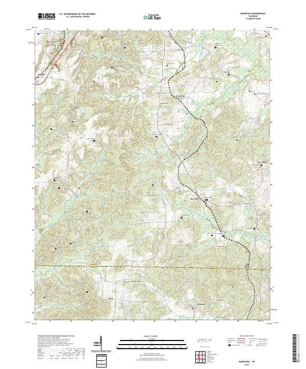
1936 Mansfield
Henry County, TN
1936 Springville
Henry County, TN
1938 Springville
Henry County, TN
1940 Manleyville
Henry County, TN
1941 Manleyville
Henry County, TN
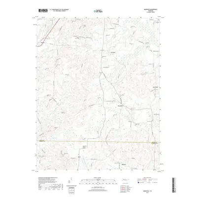
1950 Mansfield
Henry County, TN
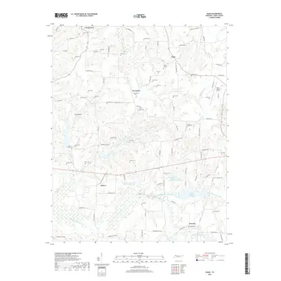
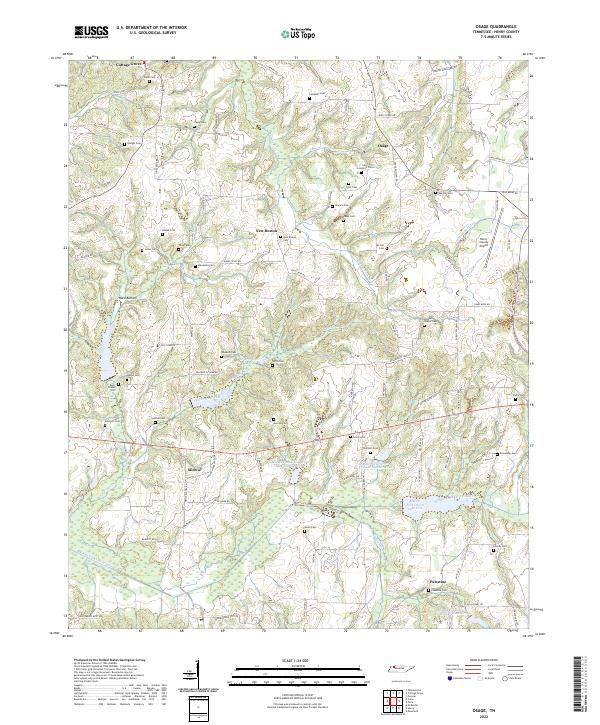
1950 Osage
Henry County, TN
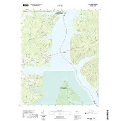
1950 Paris Landing
Henry County, TN
1965 Manleyville
Henry County, TN
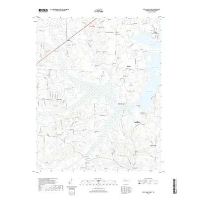
1965 West Sandy Dike
Henry County, TN
2010 Manleyville
Henry County, TN
2010 Mansfield
Henry County, TN
2010 Osage
Henry County, TN
2010 West Sandy Dike
Henry County, TN
2011 Paris Landing
Henry County, TN
2013 Manleyville
Henry County, TN
2013 Mansfield
Henry County, TN
2013 Osage
Henry County, TN
2013 Paris Landing
Henry County, TN
2013 West Sandy Dike
Henry County, TN
2016 Manleyville
Henry County, TN
2016 Mansfield
Henry County, TN
2016 Osage
Henry County, TN
2016 Paris Landing
Henry County, TN
2016 West Sandy Dike
Henry County, TN
2019 Manleyville
Henry County, TN
2019 Mansfield
Henry County, TN
2019 Osage
Henry County, TN
2019 Paris Landing
Henry County, TN
2019 West Sandy Dike
Henry County, TN
2022 Manleyville
Henry County, TN
2022 Mansfield
Henry County, TN
2022 Osage
Henry County, TN
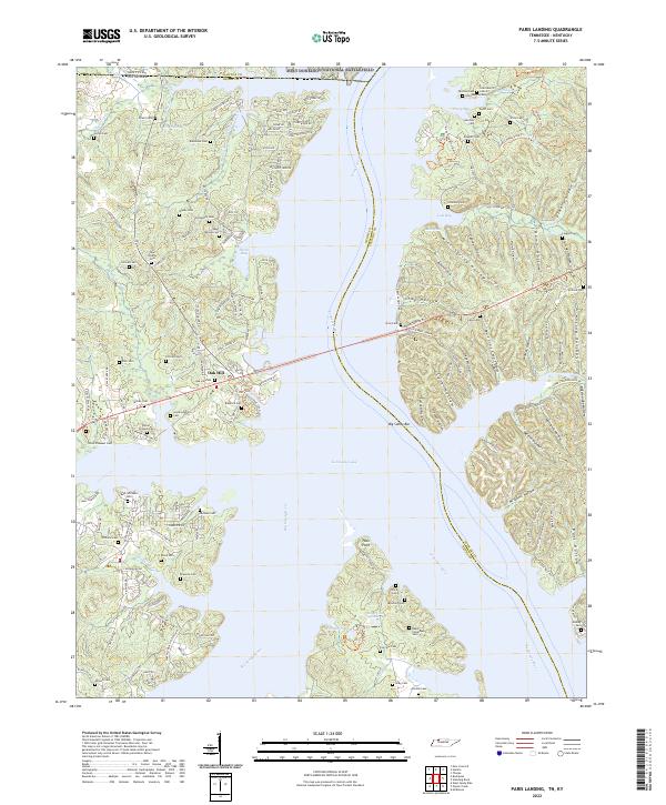
2022 Paris Landing
Henry County, TN
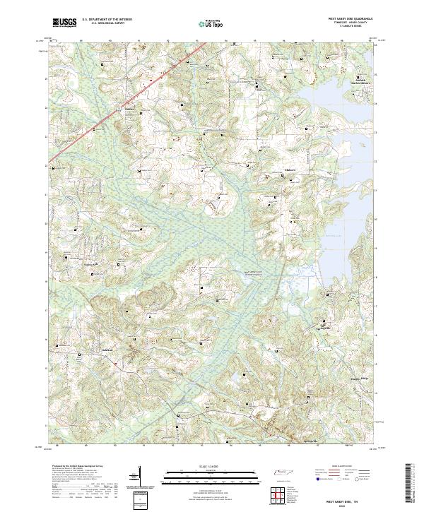
2022 West Sandy Dike
Henry County, TN