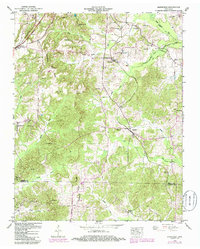
1950 Map of Mansfield
USGS Topo · Published 1985About this map
Mansfield and Van Dyke sit within a landscape defined by the Tennessee Valley Divide, where the complex drainage systems of Henry and Carroll counties begin their descent. Small rural communities like Mixie and Routon are connected by the Seaboard System railroad and the Austin Memorial Highway, highlighting the transport corridors that sustained these upland settlements. The map reveals a dense network of family and community landmarks, particularly evident in the high concentration of burial sites and country chapels such as Shiloh Ch and Spring Hill Ch.
Find a feature on this map
43 named features on this map. Tap any name to fly to it.
Don’t see what you’re looking for? This feature index may not catch every label — zoom into the map to look around manually.
Map Details
Editions of this 1950 Mansfield Map
3 editions found

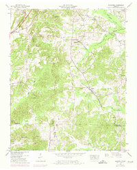
Other maps of this area

1936 · Mansfield
USGS Topo · 1:24,000

1936 · Vale
USGS Topo · 1:24,000

1936 · Bruceton
USGS Topo · 1:24,000

1936 · Manleyville
USGS Topo · 1:24,000

1936 · Paris
USGS Topo · 1:24,000

1936 · Springville
USGS Topo · 1:24,000

1938 · Springville
USGS Topo · 1:24,000

1940 · Manleyville
USGS Topo · 1:24,000

1941 · Manleyville
USGS Topo · 1:24,000

1950 · Osage
USGS Topo · 1:24,000