
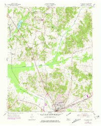
1955 Map of Huntingdon
USGS Topo · Published 1957About this map
The town of Huntingdon serves as the focal point of this mid-century Carroll County landscape, situated at a major intersection of roads and the Nashville Chattanooga and St Louis railway. The map illustrates a rural economy transitioning through managed water systems, most notably the Crooked Creek Drainage Canal which cuts a straight line through the winding natural paths of Crooked Creek and Beaver Creek. Education and faith are central to the scattered communities, with the Hale Sch and Edwards Park located in the primary settlement, while rural life revolves around landmarks like St Pauls Ch, Bethel, and Hico Station. To the north, the geography is defined by small water bodies like Carroll Lake and Lake Isabel, alongside industry indicated by a Clay Pit and various Pits. This survey provides a clear view of West Tennessee's local infrastructure before later decades of highway expansion altered the traditional town-to-country connections.
Find a feature on this map
34 named features on this map. Tap any name to fly to it.
Don’t see what you’re looking for? This feature index may not catch every label — zoom into the map to look around manually.
Map Details
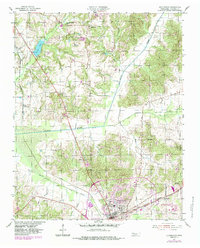
Editions of this 1955 Huntingdon Map
3 editions found
Other maps of this area

1936 · Mansfield
USGS Topo · 1:24,000

1936 · Vale
USGS Topo · 1:24,000

1936 · Center Ridge
USGS Topo · 1:24,000

1936 · Buena Vista
USGS Topo · 1:24,000

1950 · Palmer Shelter
USGS Topo · 1:24,000

1950 · Vale
USGS Topo · 1:24,000
1950 · Buena Vista
USGS Topo · 1:24,000

1950 · Mansfield
USGS Topo · 1:24,000

1955 · Henry
USGS Topo · 1:24,000

1956 · Dyersburg
USGS Topo · 1:250,000