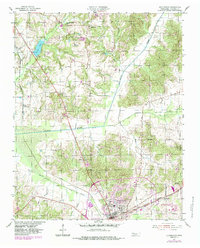
1955 Map of Huntingdon
USGS Topo · Published 1984About this map
Huntingdon serves as the focal point of this mid-century Carroll County survey, showing a landscape defined by its transition from agricultural patterns to early suburban and industrial development. The town's layout is grounded by its connection to the Seaboard rail line and the infrastructure of the Fairgrounds and Sesquicentennial Park. The map captures an era when rural life was anchored by small, family-named landmarks and local institutions, such as Hale Sch, Shiloh Ch, and the Fairview Ch.
Find a feature on this map
36 named features on this map. Tap any name to fly to it.
Don’t see what you’re looking for? This feature index may not catch every label — zoom into the map to look around manually.
Map Details
Editions of this 1955 Huntingdon Map
3 editions found
Other maps of this area

1936 · Mansfield
USGS Topo · 1:24,000

1936 · Vale
USGS Topo · 1:24,000

1936 · Center Ridge
USGS Topo · 1:24,000

1936 · Buena Vista
USGS Topo · 1:24,000

1950 · Palmer Shelter
USGS Topo · 1:24,000

1950 · Vale
USGS Topo · 1:24,000
1950 · Buena Vista
USGS Topo · 1:24,000

1950 · Mansfield
USGS Topo · 1:24,000

1955 · Henry
USGS Topo · 1:24,000

1955 · Huntingdon
USGS Topo · 1:24,000