
1950 Map of Palmer Shelter
USGS Topo · Published 1953About this map
Tennessee Valley Divide crosses through the heart of this Carroll County landscape, separating the drainage systems of the western Tennessee plateau. The area is defined by a network of rural schoolhouses and country churches that served small agrarian communities at mid-century. Several family-named landmarks and historical settlements are visible, including Palmer Shelter, Buller, and Poplar Springs. The terrain is deeply dissected by numerous waterways such as Beaver Creek, Brier Creek, and Reedy Creek, with the Beaver Drainage Canal indicating early 20th-century efforts to manage the low-lying wetlands. For genealogists, the map is particularly useful for locating numerous burial grounds like Antioch Cem and Giles Cem, alongside community centers such as Liberty All Church and the Pleasant Hill School.
Find a feature on this map
53 named features on this map. Tap any name to fly to it.
Don’t see what you’re looking for? This feature index may not catch every label — zoom into the map to look around manually.
Map Details
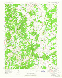
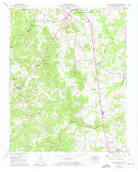
Editions of this 1950 Palmer Shelter Map
3 editions found
Other maps of this area

1936 · Clarksburg
USGS Topo · 1:24,000

1936 · Yuma
USGS Topo · 1:24,000

1936 · Vale
USGS Topo · 1:24,000

1936 · Center Ridge
USGS Topo · 1:24,000

1936 · Buena Vista
USGS Topo · 1:24,000

1950 · Yuma
USGS Topo · 1:24,000

1950 · Vale
USGS Topo · 1:24,000
1950 · Buena Vista
USGS Topo · 1:24,000

1950 · Clarksburg
USGS Topo · 1:24,000

1955 · Huntingdon
USGS Topo · 1:24,000