
1966 Map of Atwood
USGS Topo · Published 1967About this map
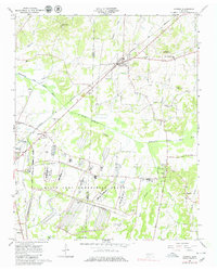
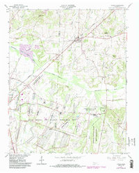
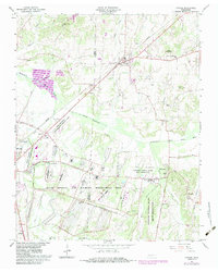
The Milan Army Ammunition Plant dominates the southern landscape of this mid-1960s survey, showing an extensive network of US Government RR lines and specialized facilities spanning the Gibson Co and Carroll Co border. To the north, the town of Atwood serves as a local hub, situated where the Louisville and Nashville Railroad cuts through the countryside. This era shows a community defined by its rural institutions, including the MTA Jr High Sch and numerous country churches such as Mt Olive Ch and Newhope Ch. The terrain is shaped by the Rutherford Fork Obion River and its tributaries, while landmarks like Webb Mountain and Boen Airfield provide distinct points of reference for local historians. Small settlements like Whitthorne and Ledbetter are mapped alongside family-named cemeteries like Keaton Cem and Pisgah Cem.
Find a feature on this map
44 named features on this map. Tap any name to fly to it.
Don’t see what you’re looking for? This feature index may not catch every label — zoom into the map to look around manually.
Map Details
Editions of this 1966 Atwood Map
4 editions found
Other maps of this area

1952 · Milan
USGS Topo · 1:24,000

1954 · Bradford
USGS Topo · 1:24,000

1956 · Dyersburg
USGS Topo · 1:250,000

1956 · Blytheville
USGS Topo · 1:250,000

1959 · Medina
USGS Topo · 1:24,000

1959 · Blytheville
USGS Topo · 1:250,000

1966 · Spring Creek
USGS Topo · 1:24,000

1966 · Mc Lemoresville
USGS Topo · 1:24,000

1966 · Trezevant West
USGS Topo · 1:24,000
1966 · Cedar Grove
USGS Topo · 1:24,000