Loading...
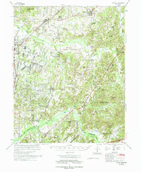
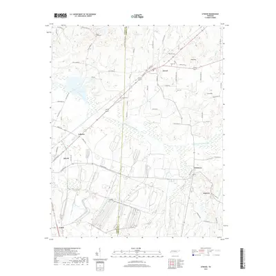
Loading map...1966 Map of Atwood
USGS Topo · Published 1979About this map
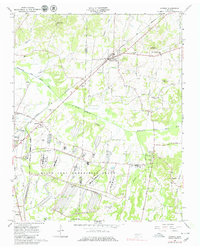
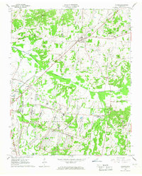
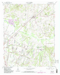
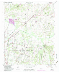
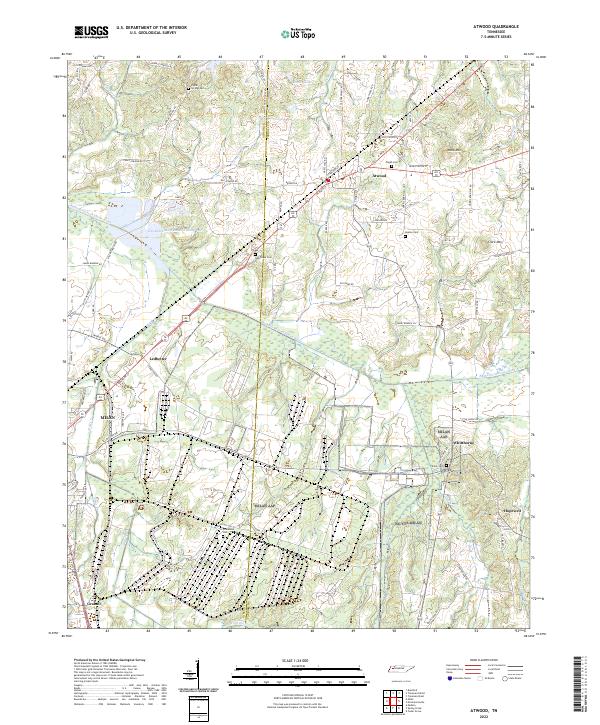
The Milan Army Ammunition Plant dominates the southern landscape of this 1960s survey, illustrating the significant military and industrial presence on the border of Gibson Co and Carroll Co. This extensive complex is serviced by the US Government RR, which connects to the broader rail network of the Louisville and Nashville Railroad. Just north of these facilities, the University of Tenn Agricultural Experimental Farm highlights the region's commitment to agricultural research alongside its defense industry.
Find a feature on this map
46 named features on this map. Tap any name to fly to it.
Don’t see what you’re looking for? This feature index may not catch every label — zoom into the map to look around manually.
Map Details
Date Portrayed1966
Date Published1979
PublisherU.S. Geological Survey
Map TypeTopographic
Scale1:24,000
Physical Dimensions22 x 27.5 inches
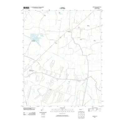
Editions of this 1966 Atwood Map
4 editions found
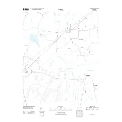
Historical Maps of Atwood Through Time
7 maps found
Featured Locations
Source Details
SourceU.S. Geological Survey
CopyrightPublic Domain