
1952 Map of Milan
USGS Topo · Published 1953About this map
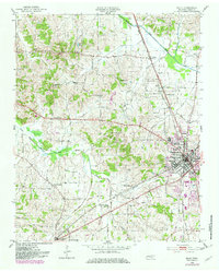
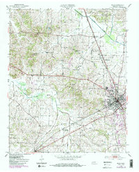
The Milan rail junction and the surrounding agricultural landscape of Gibson County dominate this mid-century survey. The town serves as a significant crossroads for the Illinois Central and Louisville and Nashville railroads, which facilitated the region's shipping and transit economy. Beyond the urban grid of Milan, several small settlements like Cades, Gibson, and Concord provide glimpses into rural Tennessee life, each centered around local institutions such as Moores Chapel and Thomas Grove Sch.
Find a feature on this map
48 named features on this map. Tap any name to fly to it.
Don’t see what you’re looking for? This feature index may not catch every label — zoom into the map to look around manually.
Map Details
Editions of this 1952 Milan Map
3 editions found
Other maps of this area

1951 · Trenton
USGS Topo · 1:24,000

1953 · Dyer
USGS Topo · 1:24,000

1954 · Bradford
USGS Topo · 1:24,000

1956 · Dyersburg
USGS Topo · 1:250,000

1956 · Blytheville
USGS Topo · 1:250,000

1959 · Medina
USGS Topo · 1:24,000

1959 · Blytheville
USGS Topo · 1:250,000

1959 · Humboldt
USGS Topo · 1:24,000

1966 · Spring Creek
USGS Topo · 1:24,000

1966 · Atwood
USGS Topo · 1:24,000