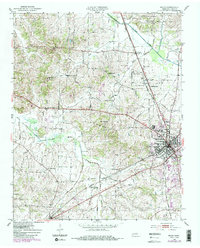
1952 Map of Milan
USGS Topo · Published 1983About this map
The Rutherford Fork Obion River and North Fork Forked Deer River define the drainage of this West Tennessee landscape, where mid-century agricultural patterns meet the growing industrial footprint of Milan. The convergence of the Illinois Central and Seaboard rail lines established this area as a significant transportation junction, supporting small rural centers like Cades and Union Central.
Find a feature on this map
49 named features on this map. Tap any name to fly to it.
Don’t see what you’re looking for? This feature index may not catch every label — zoom into the map to look around manually.
Map Details
Editions of this 1952 Milan Map
3 editions found
Other maps of this area

1951 · Trenton
USGS Topo · 1:24,000

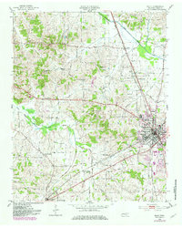
1952 · Milan
USGS Topo · 1:24,000

1953 · Dyer
USGS Topo · 1:24,000

1954 · Bradford
USGS Topo · 1:24,000

1956 · Dyersburg
USGS Topo · 1:250,000

1956 · Blytheville
USGS Topo · 1:250,000

1959 · Medina
USGS Topo · 1:24,000

1959 · Blytheville
USGS Topo · 1:250,000

1959 · Humboldt
USGS Topo · 1:24,000

1966 · Spring Creek
USGS Topo · 1:24,000